7 Ashleigh Crescent, Wheaton Aston, Stafford, ST19 9PN
About 7 Ashleigh Crescent
7 Ashleigh Crescent is a three-bedroom detached house in Wheaton Aston, Stafford, Stafford (ST19 9PN). It has a recorded floor area of 114 m² (around 1227 sq ft), construction records dating it to 1930-1949 and council tax band D. The latest certificate (October 2014) shows an E (score 52), well below the UK norm with real room to improve. The recommended improvements would lift it to C (score 78), a 2-band jump. The latest certificate is from October 2014, so improvements made since then won't be reflected. It has already been extended once and our model flags further extension potential, a sign of buyer flexibility.
One planning record on file: an extension approved in 2021. Past consents include an extension, meaningful when judging how the property has evolved. It lags the bulk of the postcode on energy efficiency (less efficient than 82% of similar EPCs). Today's modelled estimate of £373,000 is 30.9% above the 2020 sale price. On a £-per-square-foot basis, the last sale (£232/sq ft) was about 29.4% above the typical sold price in the postcode. Last sale on file: £285,000 in December 2020.
Know exactly what you're buying at 7 Ashleigh Crescent
Before you offer, see what the listing won't tell you, the true value, the red flags and the full history.
Already flagged here
Valuation
against the asking price
Risks
planning & flood
Sold prices
similar homes nearby
Trends
the local market
What this property has
Inside
- Bedrooms3
- Bathrooms1
Outside
- Private gardenYes
Building
- Previously extendedYes
- Extension potentialPossible
Energy performance
7 Ashleigh Crescent's carbon output runs well above what efficient homes in the postcode produce.
EPC Expired
This certificate is over 10 years old and is no longer valid.Expired 15 Oct 2024
EPC Rating
Planning history
Council records include a two-storey side extension at 7 Ashleigh Crescent.
- Aug 2021ExtensionFullIn report
Extension: Two storey · Side of property
Two storey side extension and new boundary fence
- Documents
- 5 docs on file
- Reference
- 21/00683/FUL
We flagged 1 thing worth checking at 7 Ashleigh Crescent
Independent checks surfaced things a buyer would want to understand before offering. The report explains each one in full, with the underlying data and what to ask.
- Larger development activity nearby
30-day money-back guarantee
Sales history & valuation
The latest sale landed in the post-pandemic price surge — useful context when reading the figure.
£373,000
Modelled from EPC, postcode comparables.
£285,000
Recorded with HM Land Registry.
Sales timeline
17 December 2020Most recent
£285,000
Median price across the last 5 sales in ST19 9PN: £315,000 (2024–2018).
Nearby sales in ST19 9PN
24 Ashleigh Crescent, Wheaton Aston, Stafford, ST19 9PN
Sold Feb 2024
£400,00022 Ashleigh Crescent, Wheaton Aston, Stafford, ST19 9PN
Sold Sept 2022
£420,00030 Ashleigh Crescent, Wheaton Aston, Stafford, ST19 9PN
Sold Feb 2021
£215,00018 Ashleigh Crescent, Wheaton Aston, Stafford, ST19 9PN
Sold Dec 2020
£315,0004 Ashleigh Crescent, Wheaton Aston, Stafford, ST19 9PN
Sold Oct 2017
£220,000
Everything we know about 7 Ashleigh Crescent, in one report
What it's really worth, what could be wrong, and the planning, sales and area data in full.
What we flagged
- Larger development activity nearby

Versus other Ashleigh Crescent homes
On epc rating, 7 Ashleigh Crescent runs well behind the street norm.
Price per m²
£2,500
Street avg £2,327
Floor Area
114 m²
Street avg 104 m²
Habitable Rooms
4 rooms
Street avg 5 rooms
CO₂ Emissions
6.1 t/year
Street avg 4.8 t/year
Similar properties nearby
1 Bargate Stables, Bargate Lane, Brewood
ST19 9EG
1 Bridge Croft, Wheaton Aston
ST19 9FL
1 Burford Road, Wheaton Aston
ST19 9NT
1 Boscobel Grove, Brewood
ST19 9EL
1 Ash Grove, Brewood
ST19 9HP
1 Brookside Gardens, Bishops Wood
ST19 9AL
1 Coneybere Gardens, Brewood
ST19 9EJ
1 Coach Gardens, Wheaton Aston
ST19 9NZ
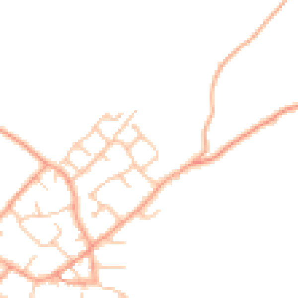
The neighbourhood at a glance
Daytime road noise here sits well below conversation level — a quiet pocket of the postcode.
Crime
3/mo
Steady year-on-year across the wider district.
Nearest stop
0.1 km
Greenhill Lane — bus stop.
Closest school
0.4 km
St Mary's CofE First Academy. 1 school nearby.
Go deeper on the local area
The full report breaks down crime, transport links, schools and air quality in depth.
Road noise across the postcode
Daytime· 07:00 – 23:00
44.8dB

Night-time· 23:00 – 07:00
36.3dB