11 Cheltenham Drive, Stafford, ST17 4TX
About 11 Cheltenham Drive
11 Cheltenham Drive is a property in Stafford (ST17 4TX). It has council tax band E.
Untraded for 21 years, with the last transfer in December 2005. 2 planning records sit against the property, 2 approved, 0 refused. Past consents include tree works and an extension, meaningful when judging how the property has evolved. Across 1995–2005, sale prices on this property compounded at 19% per year.
Everything you need to know about 11 Cheltenham Drive
The true value, the hidden risks and the full sale history, in one report.
Pick your report · every report is £14.99
One time fee only - money back guarantee

The data behind every report


Energy performance
No EPC on record
This property doesn't have an Energy Performance Certificate yet. An EPC is required to sell or let — and unlocks our automated valuation.
Get a survey for this property
Level 2 HomeBuyer Report
We've checked 10 risk factors against the available data for this property and believe a Level 2 HomeBuyer Report could be a suitable option for you.
Planning history
11 Cheltenham Drive has an approved extension on the planning record.
2 applications on record at 11 Cheltenham Drive, Stafford, ST17 4TX
- Oct 2024ExtensionOutlineOutcome in report
Extension to property to match in all respects the existing property, with felted flat roof and UPVC lantern
- Documents
- 6 docs on file
- Reference
- 24/39141/LDCPP
- More recent applications — locked
- Tree WorksMar 2025Decision
Unlock 11 Cheltenham Drive, Stafford, ST17 4TX's full planning history
You're seeing the shape of it. The report has the substance.
- Every decision — granted, refused or withdrawn (2 on record)
- All 2 applications on this property in full, plus 2 notable nearby
- The 6 documents, officer reports & conditions
- What the pattern means for extending or converting here
One time fee only - money back guarantee
Sales history & valuation
Latest sale on 11 Cheltenham Drive was the highest on Land Registry record across the postcode.
£277,500
Growth on file: 19.0% per year over 11 years.
Sales timeline
1 December 2005Most recent
£277,500
+105.6%over 5 years25 April 2000
£135,000
+221.8%over 5 years20 January 1995
£41,950
Median price across the last 5 sales in ST17 4TX: £110,000 (2006–1997).
Nearby sales in ST17 4TX
Everything you need to know about 11 Cheltenham Drive
The true value, the hidden risks and the full sale history, in one report.
Pick your report · every report is £14.99
One time fee only - money back guarantee
The data behind every report
Similar properties nearby
The neighbourhood at a glance
Daytime road noise here sits well below conversation level — a quiet pocket of the postcode.
Crime
3/mo
Steady year-on-year across the wider district.
Nearest stop
0.1 km
Hartsbourne Way — bus stop.
Closest school
0.6 km
Barnfields Primary School. 19 schools nearby.
Go deeper on the local area
A Local Area report breaks down crime, transport links, schools and air quality in depth.
Road noise across the postcode
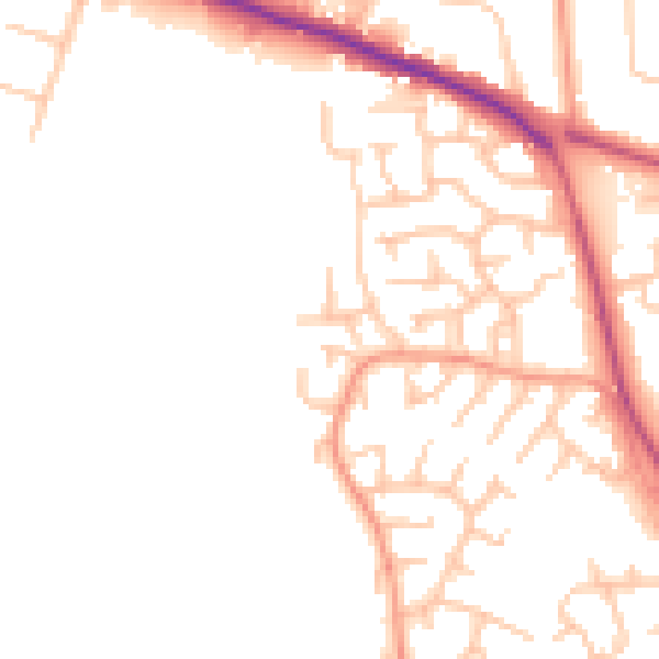
Daytime· 07:00 – 23:00
48.5dB

Night-time· 23:00 – 07:00
40.1dB