2 Caldervale Drive, Stafford, ST17 4RH
About 2 Caldervale Drive
2 Caldervale Drive is a four-bedroom semi-detached house in Stafford (ST17 4RH). It has a recorded floor area of 117 m² (around 1259 sq ft), construction records dating it to 1976-1982 and council tax band B. Tenure is freehold. The latest certificate (January 2023) shows a D (score 66), on the cusp of jumping into the C band. The rating has held steady at D across 2 certificates since January 2013. Between certificates, wall efficiency went from Poor to Average, roof efficiency went from Poor to Good and lighting went from Average to Very Good. The recommended improvements would push it to C (score 80).
Held since October 1995 — that's 31 years off the open market, well above the local norm. Only one transfer is on record with HM Land Registry, suggesting it has stayed in the same hands for a long time. At 117 m² the property is well over the postcode median (74 m² across 14 EPCs), placing it in the larger end of the local stock. Today's modelled estimate of £243,000 sits 428.3% above the 1995 sale of £46,000. On a £-per-square-foot basis, the last sale (£37/sq ft) was about 83.6% below the postcode norm. 2 planning records sit against the property, 0 approved, 0 refused.
What this property has
Inside
- Bedrooms4
Outside
- Private gardenYes
- GarageYes
Building
- TenureFreehold
Everything you need to know about 2 Caldervale Drive
The true value, the hidden risks and the full sale history, in one report.
Pick your report · every report is £14.99
One time fee only - money back guarantee

The data behind every report


Energy performance
EPC Rating
Property Improvements
Changes detected from historical EPC data
Heating controls upgraded for better temperature management
Wall insulation upgraded
Loft insulation upgraded to recommended levels
More low energy lighting installed
Get a survey for this property
Level 3 Building Survey
Because the property has been extended more than once, we believe a Level 3 building survey should be considered.
From £885 · Includes VAT
Planning history
2 applications on record at 2 Caldervale Drive, Stafford, ST17 4RH
- Apr 2007ConservatoryFullOutcome in report
Extension: Two storey · Rear of property
Two storey extensions plus single storey rear extension and replacement conservatory
Extension- Documents
- 1 doc on file
- Reference
- 07/07908/FUL
- More recent applications — locked
- ConservatoryJul 2007Decision
Unlock 2 Caldervale Drive, Stafford, ST17 4RH's full planning history
You're seeing the shape of it. The report has the substance.
- Every decision — granted, refused or withdrawn (2 on record)
- All 2 applications on this property in full, plus 2 notable nearby
- The 3 documents, officer reports & conditions
- What the pattern means for extending or converting here
One time fee only - money back guarantee
Sales history & valuation
2 Caldervale Drive's modelled value sits at over four times its earliest registered sale price (1995).
£243,000
Modelled from EPC, postcode comparables.
£46,000
Recorded with HM Land Registry.
Sales timeline
27 October 1995Most recent
£46,000
Median price across the last 5 sales in ST17 4RH: £210,000 (2025–2019).
Nearby sales in ST17 4RH
29 Caldervale Drive, Stafford, ST17 4RH
Sold Jun 2025
£220,00025 Caldervale Drive, Stafford, ST17 4RH
Sold Sept 2024
£230,00033 Caldervale Drive, Stafford, ST17 4RH
Sold Aug 2024
£210,00023 Caldervale Drive, Stafford, ST17 4RH
Sold Apr 2019
£161,00035 Caldervale Drive, Stafford, ST17 4RH
Sold Aug 2018
£169,000
Versus other Caldervale Drive homes
2 Caldervale Drive is notably below the street on price per m².
Price per m²
£393
Street avg £2,364
Floor Area
117 m²
Street avg 76 m²
Habitable Rooms
7 rooms
Street avg 5 rooms
CO₂ Emissions
4.4 t/year
Street avg 3.5 t/year
Everything you need to know about 2 Caldervale Drive
The true value, the hidden risks and the full sale history, in one report.
Pick your report · every report is £14.99
One time fee only - money back guarantee
The data behind every report
Similar properties nearby
1 Abberley Grove
ST17 4FE
1 Batholdi Way
ST17 4XP
1 Ampleforth Drive
ST17 4TE
1 Charterhouse Avenue
ST17 4TJ
1 Catalan Close
ST17 4XS
1 Brookwillows
ST17 4PX
1 Brambleside
ST17 4QW
1 Brent Close
ST17 4XQ
The neighbourhood at a glance
Crime
3/mo
Steady year-on-year across the wider district.
Nearest stop
0.1 km
The Bramblings — bus stop.
Closest school
0.3 km
Barnfields Primary School. 14 schools nearby.
Go deeper on the local area
A Local Area report breaks down crime, transport links, schools and air quality in depth.
Road noise across the postcode
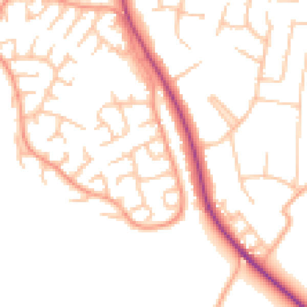
Daytime· 07:00 – 23:00
50.0dB

Night-time· 23:00 – 07:00
40.2dB