7 Clevedon Avenue, Stafford, ST17 0DJ
About 7 Clevedon Avenue
7 Clevedon Avenue is a property in Stafford (ST17 0DJ). It has council tax band D.
Held since March 1998 — that's 28 years off the open market, well above the local norm. Only one transfer is on record with HM Land Registry, suggesting it has stayed in the same hands for a long time.
Everything you need to know about 7 Clevedon Avenue
The true value, the hidden risks and the full sale history, in one report.
Pick your report · every report is £14.99
One time fee only - money back guarantee

The data behind every report


Energy performance
No EPC on record
This property doesn't have an Energy Performance Certificate yet. An EPC is required to sell or let — and unlocks our automated valuation.
Get a survey for this property
Level 2 HomeBuyer Report
We've checked 10 risk factors against the available data for this property and believe a Level 2 HomeBuyer Report could be a suitable option for you.
Planning history
7 Clevedon Avenue has no planning applications on record.
But the area is active
1 notable application nearby — larger schemes and conversions that could reshape the street. The report maps them all.
Sales history & valuation
7 Clevedon Avenue has been held in the same hands since before 2000.
£80,000
Recorded with HM Land Registry.
Sales timeline
5 March 1998Most recent
£80,000
Median price across the last 5 sales in ST17 0DJ: £340,000 (2025–2023).
Nearby sales in ST17 0DJ
Everything you need to know about 7 Clevedon Avenue
The true value, the hidden risks and the full sale history, in one report.
Pick your report · every report is £14.99
One time fee only - money back guarantee
The data behind every report
Similar properties nearby
1 Abbey Cottages, Main Road, Colwich
ST17 0XD
1 Acton Hill Road, Acton Trussell
ST17 0RY
1 Alsop Crest, Acton Trussell
ST17 0SJ
1 Anson Drive
ST17 0LT
1 Appledore Close
ST17 0EW
1 Ascot Road
ST17 0AG
1 Balmoral Road
ST17 0AN
1 Bank Cottages, Acton Trussell
ST17 0RH
The neighbourhood at a glance
Crime
3/mo
Steady year-on-year across the wider district.
Nearest stop
0.1 km
The Rise — bus stop.
Closest school
0.3 km
Walton High School. 15 schools nearby.
Go deeper on the local area
A Local Area report breaks down crime, transport links, schools and air quality in depth.
Road noise across the postcode
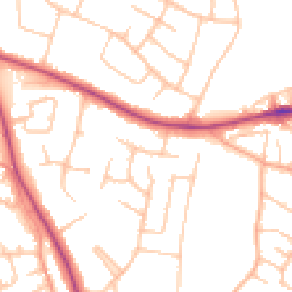
Daytime· 07:00 – 23:00
50.5dB

Night-time· 23:00 – 07:00
41.0dB