2 Mayfield Road, Stafford, ST17 0AW
About 2 Mayfield Road
2 Mayfield Road is a three-bedroom semi-detached house in Stafford (ST17 0AW). It has a recorded floor area of 105 m² (around 1130 sq ft), construction records dating it to 1950-1966 and council tax band C. The latest certificate (March 2014) shows a D (score 61), on the cusp of jumping into the C band. Earlier certificates rated it C (August 2010); the latest reading is one band lower. Between certificates, roof efficiency dropped from Good to Poor and hot-water efficiency dropped from Very Good to Average. The recommended improvements would push it to C (score 79). The latest certificate is from March 2014, so improvements made since then won't be reflected. Other recorded features include a conservatory. Records show the property has been extended at some point in its history.
Across 2014–2020, sale prices on this property compounded at 5% per year. Today's modelled estimate of £304,000 is 24.1% above the 2020 sale price. Most recent transfer: August 2020 at £245,000. One historical planning record sits against the property in 2004.
What this property has
Inside
- Bedrooms3
- Bathrooms1
- Dining roomYes
- Utility roomYes
- CloakroomYes
- EnsuiteYes
- StudyYes
- ConservatoryYes
Outside
- Private gardenFront and rear
- GarageDetached
Building
- Previously extendedYes
Everything you need to know about 2 Mayfield Road
The true value, the hidden risks and the full sale history, in one report.
Pick your report · every report is £14.99
One time fee only - money back guarantee

The data behind every report


Energy performance
2 Mayfield Road's EPC is over a decade old — improvements since won't be reflected.
EPC Expired
This certificate is over 10 years old and is no longer valid.Expired 24 Mar 2024
EPC Rating
Get a survey for this property
Level 2 HomeBuyer Report
We've checked 10 risk factors against the available data for this property and believe a Level 2 HomeBuyer Report could be a suitable option for you.
From £595 · Includes VAT
Planning history
1 application on record at 2 Mayfield Road, Stafford, ST17 0AW
- Aug 2004ConservatoryFullOutcome in report
Extension: Rear of property
Construction of conservatory at rear of dwelling.
Extension- Documents
- 1 doc on file
- Reference
- 04/02738/FUL
Unlock 2 Mayfield Road, Stafford, ST17 0AW's full planning history
You're seeing the shape of it. The report has the substance.
- Every decision — granted, refused or withdrawn (1 on record)
- All 1 application on this property in full, plus 1 notable nearby
- The 1 documents, officer reports & conditions
- What the pattern means for extending or converting here
One time fee only - money back guarantee
Sales history & valuation
Latest sale on 2 Mayfield Road was the highest on Land Registry record across the postcode.
£304,000
Modelled from EPC, postcode comparables and a sale-price growth of 5.0% per year over 7 years.
£245,000
Growth on file: 5.0% per year over 7 years.
Sales timeline
18 August 2020Most recent
£245,000
+37.6%over 6 years17 January 2014
£178,000
Median price across the last 5 sales in ST17 0AW: £140,000 (2020–2000).
Versus other Mayfield Road homes
On years held, 2 Mayfield Road runs well behind the street norm.
Price per m²
£2,333
Street avg £1,996
Floor Area
105 m²
Street avg 95 m²
Habitable Rooms
5 rooms
Street avg 5 rooms
CO₂ Emissions
4.6 t/year
Street avg 4.0 t/year
Everything you need to know about 2 Mayfield Road
The true value, the hidden risks and the full sale history, in one report.
Pick your report · every report is £14.99
One time fee only - money back guarantee
The data behind every report
Similar properties nearby
The neighbourhood at a glance
Daytime road noise here sits well below conversation level — a quiet pocket of the postcode.
Crime
3/mo
Steady year-on-year across the wider district.
Nearest stop
0.1 km
Holy Trinity Church — bus stop.
Closest school
0.8 km
St Anne's Catholic Primary School. 18 schools nearby.
Go deeper on the local area
A Local Area report breaks down crime, transport links, schools and air quality in depth.
Road noise across the postcode
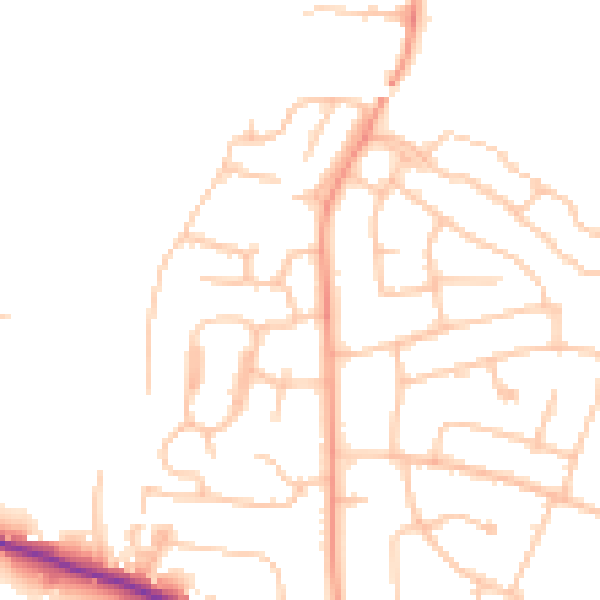
Daytime· 07:00 – 23:00
47.8dB

Night-time· 23:00 – 07:00
38.1dB