20 Balmoral Road, Stafford, ST17 0AN
About 20 Balmoral Road
20 Balmoral Road is a detached house in Stafford (ST17 0AN). It has a recorded floor area of 99 m² (around 1066 sq ft), construction records dating it to 1950-1966 and council tax band D. The latest certificate (April 2019) shows a C (score 71). The recommended improvements would push it to B (score 83).
Today's modelled estimate of £354,000 sits 65.8% above the 2020 sale of £213,500. On a £-per-square-foot basis, the last sale (£200/sq ft) was about 22.9% above the typical sold price in the postcode. Most recent transfer: January 2020 at £213,500.
Everything you need to know about 20 Balmoral Road
The true value, the hidden risks and the full sale history, in one report.
Pick your report · every report is £14.99
One time fee only - money back guarantee

The data behind every report


Energy performance
EPC Rating
Get a survey for this property
Level 2 HomeBuyer Report
We've checked 10 risk factors against the available data for this property and believe a Level 2 HomeBuyer Report could be a suitable option for you.
From £595 · Includes VAT
Planning history
20 Balmoral Road has no planning applications on record.
But the area is active
1 notable application nearby — larger schemes and conversions that could reshape the street. The report maps them all.
Sales history & valuation
Latest sale on 20 Balmoral Road was the highest on Land Registry record across the postcode.
£354,000
Modelled from EPC, postcode comparables.
£213,500
Recorded with HM Land Registry.
Sales timeline
30 January 2020Most recent
£213,500
Median price across the last 5 sales in ST17 0AN: £155,000 (2020–2012).
Nearby sales in ST17 0AN
Versus other Balmoral Road homes
On years held, 20 Balmoral Road runs well behind the street norm.
Price per m²
£2,157
Street avg £1,826
Floor Area
99 m²
Street avg 94 m²
Habitable Rooms
5 rooms
Street avg 5 rooms
CO₂ Emissions
3.5 t/year
Street avg 4.2 t/year
Everything you need to know about 20 Balmoral Road
The true value, the hidden risks and the full sale history, in one report.
Pick your report · every report is £14.99
One time fee only - money back guarantee
The data behind every report
Similar properties nearby
1 Ascot Road
ST17 0AG
1 Beechfield Drive
ST17 0YH
1 Bishton Lane, Wolseley Bridge
ST17 0XW
1 Anson Drive
ST17 0LT
1 Baswich Crest
ST17 0HL
1 Belvedere Close
ST17 0AL
1 Bank Top Cottage, Top Road, Acton Trussell
ST17 0RQ
1 Briar Close
ST17 0NG
The neighbourhood at a glance
Daytime road noise here sits well below conversation level — a quiet pocket of the postcode.
Crime
3/mo
Steady year-on-year across the wider district.
Nearest stop
0.2 km
Holy Trinity Church — bus stop.
Closest school
0.7 km
St Anne's Catholic Primary School. 19 schools nearby.
Go deeper on the local area
A Local Area report breaks down crime, transport links, schools and air quality in depth.
Road noise across the postcode
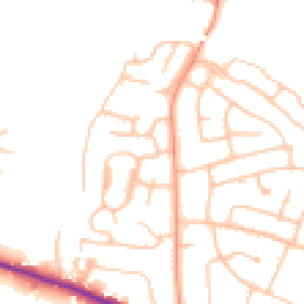
Daytime· 07:00 – 23:00
48.1dB

Night-time· 23:00 – 07:00
38.4dB