12 Balfour Grove, Stafford, ST16 1RE
About 12 Balfour Grove
12 Balfour Grove is a four-bedroom detached house in Stafford (ST16 1RE). It has a recorded floor area of 153 m² (around 1647 sq ft), construction records dating it to 2003-2006 and council tax band D. The latest certificate (February 2013) shows a C (score 71). The latest certificate is from February 2013, so improvements made since then won't be reflected. Other recorded features include a conservatory.
At 153 m² it's 23.9% larger than the typical home in the postcode (124 m² median across 6 EPCs). 13 years since the last transfer (May 2013). Across 2005–2013, sale prices on this property compounded at 1.6% per year. Today's modelled estimate of £335,000 is 38.1% above the 2013 sale price.
What this property has
Inside
- Bedrooms4
- Dining roomYes
- CloakroomYes
- EnsuiteYes
- StudyYes
- ConservatoryYes
Outside
- ParkingOff road
Building
- RefurbishedYes
Everything you need to know about 12 Balfour Grove
The true value, the hidden risks and the full sale history, in one report.
Pick your report · every report is £14.99
One time fee only - money back guarantee

The data behind every report


Energy performance
12 Balfour Grove's EPC is over a decade old — improvements since won't be reflected.
EPC Expired
This certificate is over 10 years old and is no longer valid.Expired 13 Feb 2023
EPC Rating
Get a survey for this property
Level 2 HomeBuyer Report
We've checked 10 risk factors against the available data for this property and believe a Level 2 HomeBuyer Report could be a suitable option for you.
From £595 · Includes VAT
Planning history
12 Balfour Grove has no planning applications on record.
A planning report still maps activity across the surrounding area and reads this property's extension & conversion potential.
Sales history & valuation
12 Balfour Grove valuation sits well clear of the typical sold price in this postcode.
£335,000
Modelled from EPC, postcode comparables and a sale-price growth of 1.6% per year over 8 years.
£242,500
Growth on file: 1.6% per year over 8 years.
Sales timeline
30 May 2013Most recent
£242,500
+13.9%over 8 years28 March 2005
£212,995
Median price across the last 5 sales in ST16 1RE: £249,000 (2019–2017).
Nearby sales in ST16 1RE
Versus other Balfour Grove homes
On price per m², 12 Balfour Grove runs well behind the street norm.
Price per m²
£1,585
Street avg £2,073
Floor Area
153 m²
Street avg 123 m²
Habitable Rooms
8 rooms
Street avg 7 rooms
CO₂ Emissions
4.5 t/year
Street avg 3.6 t/year
Everything you need to know about 12 Balfour Grove
The true value, the hidden risks and the full sale history, in one report.
Pick your report · every report is £14.99
One time fee only - money back guarantee
The data behind every report
Similar properties nearby
The neighbourhood at a glance
Crime
7/mo
Steady year-on-year across the wider district.
Nearest stop
0.1 km
Crispin Court — bus stop.
Closest school
0.2 km
Sir Graham Balfour High School. 8 schools nearby.
Go deeper on the local area
A Local Area report breaks down crime, transport links, schools and air quality in depth.
Road noise across the postcode
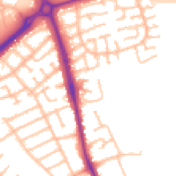
Daytime· 07:00 – 23:00
53.1dB

Night-time· 23:00 – 07:00
44.5dB