15 Alliance Street, Stafford, ST16 1HY
About 15 Alliance Street
15 Alliance Street is a property in Stafford (ST16 1HY). It has council tax band A.
Untraded for 28 years, with the last transfer in November 1998. Only one transfer is on record with HM Land Registry, suggesting it has stayed in the same hands for a long time.
Everything you need to know about 15 Alliance Street
The true value, the hidden risks and the full sale history, in one report.
Pick your report · every report is £14.99
One time fee only - money back guarantee

The data behind every report


Energy performance
No EPC on record
This property doesn't have an Energy Performance Certificate yet. An EPC is required to sell or let — and unlocks our automated valuation.
Get a survey for this property
Level 2 HomeBuyer Report
We've checked 10 risk factors against the available data for this property and believe a Level 2 HomeBuyer Report could be a suitable option for you.
Planning history
15 Alliance Street has no planning applications on record.
A planning report still maps activity across the surrounding area and reads this property's extension & conversion potential.
Sales history & valuation
15 Alliance Street has been held in the same hands since before 2000.
£27,500
Recorded with HM Land Registry.
Sales timeline
27 November 1998Most recent
£27,500
Median price across the last 5 sales in ST16 1HY: £150,000 (2025–2023).
Nearby sales in ST16 1HY
Everything you need to know about 15 Alliance Street
The true value, the hidden risks and the full sale history, in one report.
Pick your report · every report is £14.99
One time fee only - money back guarantee
The data behind every report
Similar properties nearby
The neighbourhood at a glance
Crime
7/mo
Steady year-on-year across the wider district.
Nearest stop
0.1 km
Alliance Street — bus stop.
Closest school
0.4 km
Tillington Manor Primary School. 15 schools nearby.
Go deeper on the local area
A Local Area report breaks down crime, transport links, schools and air quality in depth.
Road noise across the postcode
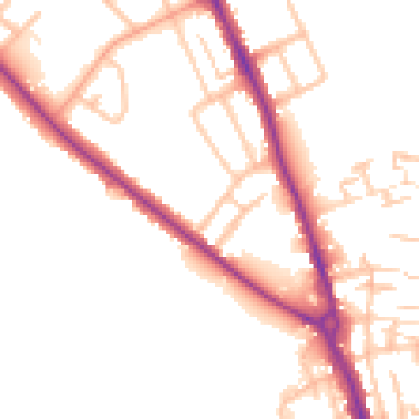
Daytime· 07:00 – 23:00
51.9dB

Night-time· 23:00 – 07:00
44.4dB