70 Alliance Street, Stafford, ST16 1HY
About 70 Alliance Street
70 Alliance Street is a two-bedroom mid-terrace house in Stafford (ST16 1HY). It has a recorded floor area of 79 m² (around 850 sq ft), construction records dating it to 1900-1929 and council tax band A. The latest certificate (October 2022) shows a D (score 63), on the cusp of jumping into the C band. The recommended improvements would push it to C (score 80).
Across 1998–2023, sale prices on this property compounded at 5.7% per year. On a £-per-square-foot basis, the last sale (£176/sq ft) was about 48.1% above the typical sold price in the postcode. Most recent transfer: August 2023 at £150,000.
What this property has
Inside
- Bedrooms2
- Bathrooms1
- Dining roomYes
Outside
- Private gardenRear
Everything you need to know about 70 Alliance Street
The true value, the hidden risks and the full sale history, in one report.
Pick your report · every report is £14.99
One time fee only - money back guarantee

The data behind every report


Energy performance
EPC Rating
Get a survey for this property
Level 3 Building Survey
Because the property was built before 1919 and has solid (non-cavity) walls, we believe a Level 3 building survey should be considered.
From £820 · Includes VAT
Planning history
70 Alliance Street has no planning applications on record.
A planning report still maps activity across the surrounding area and reads this property's extension & conversion potential.
Sales history & valuation
Price for 70 Alliance Street has grown more than fourfold since the 1998 starting point.
£158,000
Modelled from EPC, postcode comparables and a sale-price growth of 5.7% per year over 25 years.
£150,000
Growth on file: 5.7% per year over 25 years.
Sales timeline
16 August 2023Most recent
£150,000
+38.9%over 16 years12 January 2007
£108,000
+100.0%over 5 years13 September 2001
£54,000
+45.9%over 3 years2 April 1998
£37,000
Median price across the last 5 sales in ST16 1HY: £160,000 (2025–2022).
Nearby sales in ST16 1HY
Versus other Alliance Street homes
70 Alliance Street is notably below the street on years held.
Price per m²
£1,899
Street avg £1,521
Floor Area
79 m²
Street avg 78 m²
Habitable Rooms
4 rooms
Street avg 4 rooms
CO₂ Emissions
3.9 t/year
Street avg 3.8 t/year
Everything you need to know about 70 Alliance Street
The true value, the hidden risks and the full sale history, in one report.
Pick your report · every report is £14.99
One time fee only - money back guarantee
The data behind every report
Similar properties nearby
The neighbourhood at a glance
Crime
7/mo
Steady year-on-year across the wider district.
Nearest stop
0.1 km
Alliance Street — bus stop.
Closest school
0.4 km
Tillington Manor Primary School. 15 schools nearby.
Go deeper on the local area
A Local Area report breaks down crime, transport links, schools and air quality in depth.
Road noise across the postcode
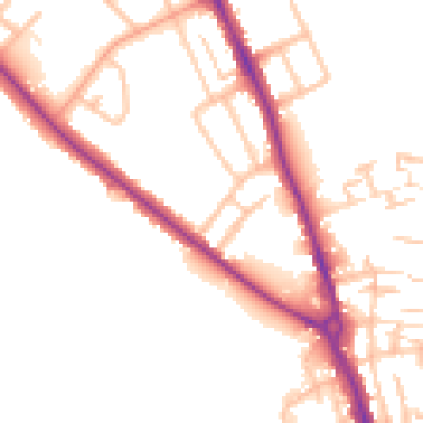
Daytime· 07:00 – 23:00
51.9dB

Night-time· 23:00 – 07:00
44.4dB