10 Church Lane, Rocester, Uttoxeter, ST14 5JZ
About 10 Church Lane
10 Church Lane is a property in Rocester, Uttoxeter, Uttoxeter (ST14 5JZ). It has council tax band B.
Energy performance
No EPC on record
This property doesn't have an Energy Performance Certificate yet. An EPC is required to sell or let — and unlocks our automated valuation.
Planning history
No planning applications are recorded against 10 Church Lane, Rocester, Uttoxeter, ST14 5JZ. The full report also covers planning activity across the surrounding area.
Sales history & valuation
No sales recorded with HM Land Registry
That can mean the property has never traded since the registry began publishing in 1995, was a new build that hasn't been registered yet, or is held in the same hands long-term.
Median price across the last 5 sales in ST14 5JZ: £168,000 (2023–2018).
Nearby sales in ST14 5JZ
55 Church Lane, Rocester, Uttoxeter, ST14 5JZ
Sold Oct 2023
£150,00014 Church Lane, Rocester, Uttoxeter, ST14 5JZ
Sold May 2021
£167,50024 Church Lane, Rocester, Uttoxeter, ST14 5JZ
Sold Aug 2020
£184,99520 Church Lane, Rocester, Uttoxeter, ST14 5JZ
Sold Aug 2019
£168,00012 Church Lane, Rocester, Uttoxeter, ST14 5JZ
Sold Jul 2018
£180,000
Similar properties nearby
1 Abbey Close, Rocester
ST14 5NZ
1 Abbey Road, Rocester
ST14 5LQ
1 Atkins Way, Rocester
ST14 5LW
1 Bamford Grove
ST14 5NS
1 Bamford Way, Bramshall
ST14 5FH
1 Barnwell Close, Stramshall
ST14 5AW
1 Bartley Lane, Bramshall
ST14 5FF
1 Barway Cottages, Marston Bank, Rocester
ST14 5BT
The neighbourhood at a glance
Daytime road noise here sits well below conversation level — a quiet pocket of the postcode.
Crime
2/mo
Steady year-on-year across the wider district.
Nearest stop
0.1 km
Abbey Road — bus stop.
Closest school
0.2 km
The JCB Academy. 5 schools nearby.
Road noise across the postcode
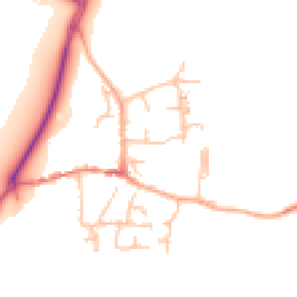
Daytime· 07:00 – 23:00
47.5dB
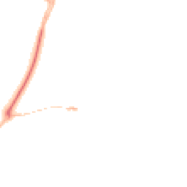
Night-time· 23:00 – 07:00
39.4dB