47 Rutland Street, Stoke On Trent, ST1 5JG
About 47 Rutland Street
47 Rutland Street is a mid-terrace house in Stoke On Trent (ST1 5JG). It has a recorded floor area of 67 m² (around 721 sq ft), construction records dating it to 1900-1929 and council tax band A. The latest certificate (October 2020) shows a D (score 63), on the cusp of jumping into the C band. The recommended improvements would lift it to B (score 87), a 2-band jump.
Across 1998–2024, sale prices on this property compounded at 3.9% per year. Today's modelled estimate of £111,000 sits 70.8% above the 2024 sale of £65,000. On a £-per-square-foot basis, the last sale (£90/sq ft) was about 34% above the typical sold price in the postcode. Last sale on file: £65,000 in October 2024.
Everything you need to know about 47 Rutland Street
The true value, the hidden risks and the full sale history, in one report.
Pick your report · every report is £14.99
One time fee only - money back guarantee

The data behind every report


Energy performance
Recommended upgrades on file would lift this property by multiple EPC bands.
EPC Rating
Get a survey for this property
Level 3 Building Survey
Because the property was built before 1919 and has solid (non-cavity) walls, we believe a Level 3 building survey should be considered.
From £820 · Includes VAT
Planning history
47 Rutland Street has no planning applications on record.
But the area is active
1 notable application nearby — larger schemes and conversions that could reshape the street. The report maps them all.
Sales history & valuation
Sale price has at least doubled since 1998.
£111,000
Modelled from EPC, postcode comparables and a sale-price growth of 3.9% per year over 27 years.
£65,000
Growth on file: 3.9% per year over 27 years.
Sales timeline
29 October 2024Most recent
£65,000
+30.0%over 3 years29 March 2021
£50,000
+11.1%over 16 years28 February 2005
£45,000
+80.0%over 1 year13 April 2003
£25,000
+31.6%over 7 months8 September 2002
£19,000
-19.1%over 4 years21 April 1998
£23,500
Median price across the last 5 sales in ST1 5JG: £82,000 (2025–2025).
Nearby sales in ST1 5JG
45 Rutland Street, Stoke On Trent, ST1 5JG
Sold Aug 2025
£82,00054 Rutland Street, Stoke On Trent, ST1 5JG
Sold Aug 2025
£85,00044 Rutland Street, Stoke On Trent, ST1 5JG
Sold Jul 2025
£91,0009 Rutland Street, Stoke On Trent, ST1 5JG
Sold May 2025
£62,00015 Rutland Street, Stoke On Trent, ST1 5JG
Sold May 2025
£50,000
Versus other Rutland Street homes
47 Rutland Street is notably below the street on years held.
Price per m²
£970
Street avg £898
Floor Area
67 m²
Street avg 63 m²
Habitable Rooms
4 rooms
Street avg 4 rooms
CO₂ Emissions
3.6 t/year
Street avg 2.9 t/year
Everything you need to know about 47 Rutland Street
The true value, the hidden risks and the full sale history, in one report.
Pick your report · every report is £14.99
One time fee only - money back guarantee
The data behind every report
Similar properties nearby
The neighbourhood at a glance
Crime
27/mo
Falling year-on-year across the wider district.
Nearest stop
0.2 km
Portland Street — bus stop.
Closest school
0.3 km
Forest Park Primary School. 34 schools nearby.
Go deeper on the local area
A Local Area report breaks down crime, transport links, schools and air quality in depth.
Road noise across the postcode
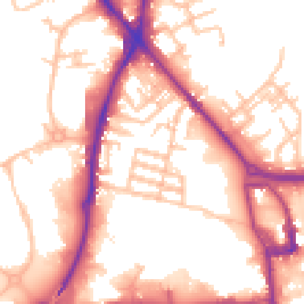
Daytime· 07:00 – 23:00
55.2dB

Night-time· 23:00 – 07:00
46.1dB