19 Rutland Street, Stoke On Trent, ST1 5JG
About 19 Rutland Street
19 Rutland Street is a two-bedroom mid-terrace house in Stoke On Trent (ST1 5JG). It has a recorded floor area of 68 m² (around 732 sq ft), construction records dating it to 1900-1929 and council tax band A. The latest certificate (October 2014) shows an E (score 47), well below the UK norm with real room to improve. The recommended improvements would lift it to B (score 86), a 3-band jump. The latest certificate is from October 2014, so improvements made since then won't be reflected. The home occupies a corner plot.
On energy efficiency it sits in the bottom 10% of properties in this postcode — significant headroom for improvement. Across 1997–2020, sale prices on this property compounded at 4% per year. Today's modelled estimate of £115,000 sits 130% above the 2020 sale of £50,000. Sold November 2020 for £50,000.
What this property has
Inside
- Bedrooms2
- Bathrooms1
Outside
- Corner plotYes
Everything you need to know about 19 Rutland Street
The true value, the hidden risks and the full sale history, in one report.
Pick your report · every report is £14.99
One time fee only - money back guarantee

The data behind every report


Energy performance
19 Rutland Street sits at the bottom of the postcode for energy efficiency — meaningful headroom to improve.
EPC Expired
This certificate is over 10 years old and is no longer valid.Expired 01 Oct 2024
EPC Rating
Get a survey for this property
Level 3 Building Survey
Because the property was built before 1919 and has solid (non-cavity) walls, we believe a Level 3 building survey should be considered.
From £820 · Includes VAT
Planning history
19 Rutland Street has no planning applications on record.
But the area is active
1 notable application nearby — larger schemes and conversions that could reshape the street. The report maps them all.
Sales history & valuation
19 Rutland Street has more than doubled in price since the earliest registered sale in 1997.
£115,000
Modelled from EPC, postcode comparables and a sale-price growth of 4.0% per year over 23 years.
£50,000
Growth on file: 4.0% per year over 23 years.
Sales timeline
4 November 2020Most recent
£50,000
+117.4%over 22 years8 December 1997
£23,000
+15.0%1 October 1997
£20,000
Median price across the last 5 sales in ST1 5JG: £82,000 (2025–2025).
Nearby sales in ST1 5JG
45 Rutland Street, Stoke On Trent, ST1 5JG
Sold Aug 2025
£82,00054 Rutland Street, Stoke On Trent, ST1 5JG
Sold Aug 2025
£85,00044 Rutland Street, Stoke On Trent, ST1 5JG
Sold Jul 2025
£91,0009 Rutland Street, Stoke On Trent, ST1 5JG
Sold May 2025
£62,00015 Rutland Street, Stoke On Trent, ST1 5JG
Sold May 2025
£50,000
Versus other Rutland Street homes
19 Rutland Street is notably below the street on epc rating.
Price per m²
£735
Street avg £903
Floor Area
68 m²
Street avg 63 m²
Habitable Rooms
4 rooms
Street avg 4 rooms
CO₂ Emissions
4.9 t/year
Street avg 2.9 t/year
Everything you need to know about 19 Rutland Street
The true value, the hidden risks and the full sale history, in one report.
Pick your report · every report is £14.99
One time fee only - money back guarantee
The data behind every report
Similar properties nearby
1 Denbigh Street
ST1 5JA
1 Pebble Mill Street
ST1 5RG
1 Rosevean Close
ST1 5QU
1 Lowther Street
ST1 5JE
1 Cape Street
ST1 5AZ
1 Boundary Street
ST1 5BA
1 James Broomhall Place
ST1 5FE
1 Ernest Tyrer Avenue
ST1 5FB
The neighbourhood at a glance
Crime
27/mo
Falling year-on-year across the wider district.
Nearest stop
0.2 km
Portland Street — bus stop.
Closest school
0.3 km
Forest Park Primary School. 34 schools nearby.
Go deeper on the local area
A Local Area report breaks down crime, transport links, schools and air quality in depth.
Road noise across the postcode
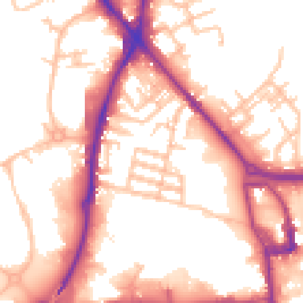
Daytime· 07:00 – 23:00
55.2dB

Night-time· 23:00 – 07:00
46.1dB