9 Great Hays, Leigh On Sea, SS9 4RR
About 9 Great Hays
9 Great Hays is a three-bedroom semi-detached house in Leigh On Sea (SS9 4RR). It has a recorded floor area of 86 m² (around 926 sq ft), construction records dating it to 1950-1966 and council tax band C. The latest certificate (November 2019) shows an E (score 54), well below the UK norm with real room to improve. The recommended improvements would lift it to B (score 90), a 3-band jump. Other recorded features include a conservatory.
Today's modelled estimate of £386,000 is 20.6% above the 2020 sale price. Most recent transfer: October 2020 at £320,000.
Know exactly what you're buying at 9 Great Hays
Before you offer, see what the listing won't tell you, the true value, the red flags and the full history.
Valuation
against the asking price
Risks
planning & flood
Sold prices
similar homes nearby
Trends
the local market
What this property has
Inside
- Bedrooms3
- Dining roomYes
- ConservatoryYes
Outside
- Private gardenRear
- GarageDetached
Energy performance
Recommended upgrades on file would lift this property by multiple EPC bands.
EPC Rating
Planning history
9 Great Hays has no planning applications on record.
The full report still covers planning activity across the surrounding area.
Sales history & valuation
The latest sale landed in the post-pandemic price surge — useful context when reading the figure.
£386,000
Modelled from EPC, postcode comparables.
£320,000
Recorded with HM Land Registry.
Sales timeline
19 October 2020Most recent
£320,000
Median price across the last 5 sales in SS9 4RR: £278,000 (2024–2006).
Nearby sales in SS9 4RR
Everything we know about 9 Great Hays, in one report
What it's really worth, what could be wrong, and the planning, sales and area data in full.
- Am I paying too much?
- Is something wrong with it?
- Is the agent's story true?
- Will it hold its value?

Versus other Great Hays homes
9 Great Hays outperforms the street on price per m² by a wide margin.
Price per m²
£3,721
Street avg £3,064
Floor Area
86 m²
Street avg 96 m²
Habitable Rooms
5 rooms
Street avg 5 rooms
CO₂ Emissions
4.9 t/year
Street avg 4.6 t/year
Similar properties nearby
The neighbourhood at a glance
Crime
3/mo
Steady year-on-year across the wider district.
Nearest stop
0.3 km
Belfairs Park Drive — bus stop.
Closest school
0.4 km
Fairways Primary School. 22 schools nearby.
Go deeper on the local area
The full report breaks down crime, transport links, schools and air quality in depth.
Road noise across the postcode
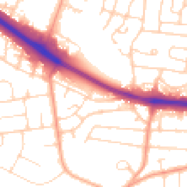
Daytime· 07:00 – 23:00
52.9dB

Night-time· 23:00 – 07:00
43.9dB