8 Lundy Close, Southend On Sea, SS2 6HA
About 8 Lundy Close
8 Lundy Close is a three-bedroom mid-terrace house in Southend On Sea (SS2 6HA). It has a recorded floor area of 88 m² (around 947 sq ft), construction records dating it to 1967-1975 and council tax band C. The latest certificate (June 2014) shows a D (score 65), on the cusp of jumping into the C band. The recommended improvements would lift it to B (score 84), a 2-band jump. The latest certificate is from June 2014, so improvements made since then won't be reflected.
At 88 m² the property is well over the postcode median (61 m² across 30 EPCs), placing it in the larger end of the local stock. On energy efficiency it sits in the bottom 10% of properties in this postcode — significant headroom for improvement. Sold December 2020 for £278,000. Across the public record there are 4 sales, relatively high churn for a single property. Across 2000–2020, sale prices on this property compounded at 6.7% per year. Today's modelled estimate of £323,000 is 16.2% above the 2020 sale price. On a £-per-square-foot basis, the last sale (£293/sq ft) was about 39.9% above the typical sold price in the postcode.
Know exactly what you're buying at 8 Lundy Close
Before you offer, see what the listing won't tell you, the true value, the red flags and the full history.
Already flagged here
Valuation
against the asking price
Risks
planning & flood
Sold prices
similar homes nearby
Trends
the local market
What this property has
Inside
- Bedrooms3
- Bathrooms2
- Dining roomYes
- CloakroomYes
Outside
- Private gardenSouth-west-facing
- ParkingOff road
Building
- Heating systemGas
- RefurbishedYes
Energy performance
8 Lundy Close sits at the bottom of the postcode for energy efficiency — meaningful headroom to improve.
EPC Expired
This certificate is over 10 years old and is no longer valid.Expired 27 Jun 2024
EPC Rating
Planning history
8 Lundy Close has no planning applications on record.
Notable planning nearby
9applications of note in the surrounding area
We flagged 2 things worth checking at 8 Lundy Close
Independent checks surfaced things a buyer would want to understand before offering. The report explains each one in full, with the underlying data and what to ask.
- Signs of HMO activity in the area
- Larger development activity nearby
30-day money-back guarantee
Sales history & valuation
8 Lundy Close has more than tripled in price since its earliest registered sale in 2000.
£323,000
Modelled from EPC, postcode comparables and a sale-price growth of 6.7% per year over 20 years.
£278,000
Growth on file: 6.7% per year over 20 years.
Sales timeline
11 December 2020Most recent
£278,000
+9.0%over 2 years7 June 2018
£255,000
+37.1%over 3 years31 October 2014
£186,000
+148.0%over 14 years21 September 2000
£75,000
Median price across the last 5 sales in SS2 6HA: £305,000 (2025–2019).
Nearby sales in SS2 6HA
9 Lundy Close, Southend On Sea, SS2 6HA
Sold Mar 2025
£322,5002 Lundy Close, Southend On Sea, SS2 6HA
Sold Dec 2023
£325,00024 Lundy Close, Southend On Sea, SS2 6HA
Sold Jul 2023
£305,00018 Lundy Close, Southend On Sea, SS2 6HA
Sold Jan 2022
£196,00031 Lundy Close, Southend On Sea, SS2 6HA
Sold Jun 2019
£205,000
Everything we know about 8 Lundy Close, in one report
What it's really worth, what could be wrong, and the planning, sales and area data in full.
What we flagged
- Signs of HMO activity in the area
- Larger development activity nearby

Versus other Lundy Close homes
On epc rating, 8 Lundy Close runs well behind the street norm.
Price per m²
£3,159
Street avg £3,175
Floor Area
88 m²
Street avg 90 m²
Habitable Rooms
5 rooms
Street avg 5 rooms
CO₂ Emissions
3.6 t/year
Street avg 2.9 t/year
Similar properties nearby
1 Hampton Close
SS2 6RY
1 Colchester Close
SS2 6HR
1 Carolines Close
SS2 6RQ
1 Derek Gardens
SS2 6QX
1 Kirkham Road
SS2 6BY
1 Gannet Close
SS2 6BE
1 Keith Way
SS2 6SG
1 Bristol Road
SS2 6XA
The neighbourhood at a glance
Reported crime in the wider district is trending notably upward year-on-year.
Crime
14/mo
Rising year-on-year across the wider district.
Nearest stop
0.0 km
Neil Armstrong Way — bus stop.
Closest school
0.9 km
Eastwood Primary School & Nursery. 22 schools nearby.
Go deeper on the local area
The full report breaks down crime, transport links, schools and air quality in depth.
Road noise across the postcode
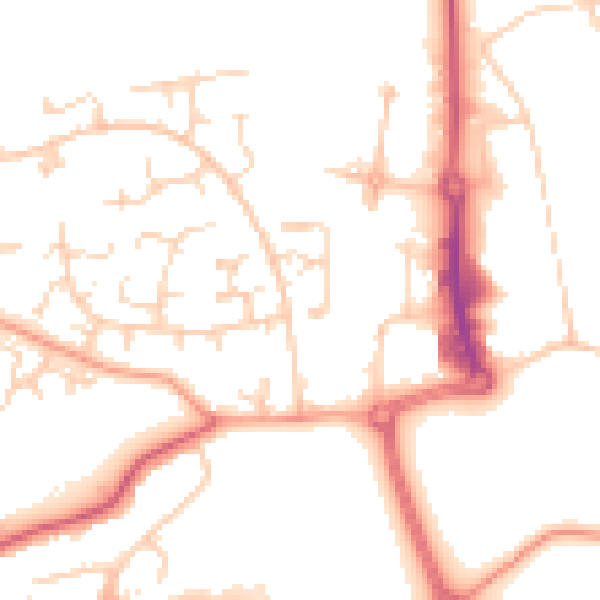
Daytime· 07:00 – 23:00
51.2dB

Night-time· 23:00 – 07:00
41.9dB