18 Lundy Close, Southend On Sea, SS2 6HA
About 18 Lundy Close
18 Lundy Close is a one-bedroom end-of-terrace house in Southend On Sea (SS2 6HA). It has a recorded floor area of 43 m² (around 463 sq ft), construction records dating it to 1976-1982 and council tax band A. At 43 m² this is the 6th smallest of 31 units on EPC record in the building, where floor areas span 39–98 m². The building's EPC ratings span E to C, with this unit at the top. The latest certificate (July 2021) shows a C (score 73). The rating has held steady at C across 2 certificates since May 2011. Between certificates, lighting went from Average to Very Good; while window efficiency dropped from Good to Average.
Most recent transfer: January 2022 at £196,000. Across the public record there are 4 sales, relatively high churn for a single property. That sale was during the post-pandemic price surge, when transactions cleared materially above pre-2020 trend. Across 2012–2022, sale prices on this property compounded at 7.4% per year. On a £-per-square-foot basis, the last sale (£423/sq ft) was about 105.8% above the typical sold price in the postcode. At 43 m² it's 29.5% smaller than the typical home in the postcode (61 m² median across 30 EPCs). One historical planning record sits against the property in 2008.
Know exactly what you're buying at 18 Lundy Close
Before you offer, see what the listing won't tell you, the true value, the red flags and the full history.
Already flagged here
Valuation
against the asking price
Risks
planning & flood
Sold prices
similar homes nearby
Trends
the local market
What this property has
Inside
- Bedrooms1
- Bathrooms1
Energy performance
18 Lundy Close's carbon output is low for the local stock.
EPC Rating
Property Improvements
Changes detected from historical EPC data
More low energy lighting installed
Planning history
- Oct 2008FullIn report
Form hardstanding and vehicular access onto Western Approaches
- Documents
- 2 docs on file
- Reference
- 08/01268/FUL
We flagged 2 things worth checking at 18 Lundy Close
Independent checks surfaced things a buyer would want to understand before offering. The report explains each one in full, with the underlying data and what to ask.
- Signs of HMO activity in the area
- Larger development activity nearby
30-day money-back guarantee
Sales history & valuation
18 Lundy Close saw 4 transfers in just over a decade — high turnover for the postcode.
£204,000
Modelled from EPC, postcode comparables and a sale-price growth of 7.4% per year over 10 years.
£196,000
Growth on file: 7.4% per year over 10 years.
Sales timeline
10 January 2022Most recent
£196,000
+12.0%over 2 years6 December 2019
£175,000
+25.0%over 2 years16 December 2016
£140,000
+41.4%over 4 years18 June 2012
£99,000
Median price across the last 5 sales in SS2 6HA: £305,000 (2025–2019).
Nearby sales in SS2 6HA
9 Lundy Close, Southend On Sea, SS2 6HA
Sold Mar 2025
£322,5002 Lundy Close, Southend On Sea, SS2 6HA
Sold Dec 2023
£325,00024 Lundy Close, Southend On Sea, SS2 6HA
Sold Jul 2023
£305,0008 Lundy Close, Southend On Sea, SS2 6HA
Sold Dec 2020
£278,00031 Lundy Close, Southend On Sea, SS2 6HA
Sold Jun 2019
£205,000
Everything we know about 18 Lundy Close, in one report
What it's really worth, what could be wrong, and the planning, sales and area data in full.
What we flagged
- Signs of HMO activity in the area
- Larger development activity nearby

Versus other Lundy Close homes
18 Lundy Close outperforms the street on price per m² by a wide margin.
Price per m²
£4,558
Street avg £2,662
Floor Area
43 m²
Street avg 51 m²
Habitable Rooms
2 rooms
Street avg 3 rooms
CO₂ Emissions
1.5 t/year
Street avg 1.7 t/year
Similar properties nearby
1 Larke Rise
SS2 6GQ
1 Boston Lofts, Sweyne Avenue
SS2 6FR
1 Alton Gardens
SS2 6QU
1 Aragon Close
SS2 6SF
1 Beeleigh Close
SS2 6PA
1 Carolines Close
SS2 6RQ
1 Cecil Court, Jones Close
SS2 6PG
1 Hampton Close
SS2 6RY
The neighbourhood at a glance
Reported crime in the wider district is trending notably upward year-on-year.
Crime
14/mo
Rising year-on-year across the wider district.
Nearest stop
0.0 km
Neil Armstrong Way — bus stop.
Closest school
0.9 km
Eastwood Primary School & Nursery. 22 schools nearby.
Go deeper on the local area
The full report breaks down crime, transport links, schools and air quality in depth.
Road noise across the postcode
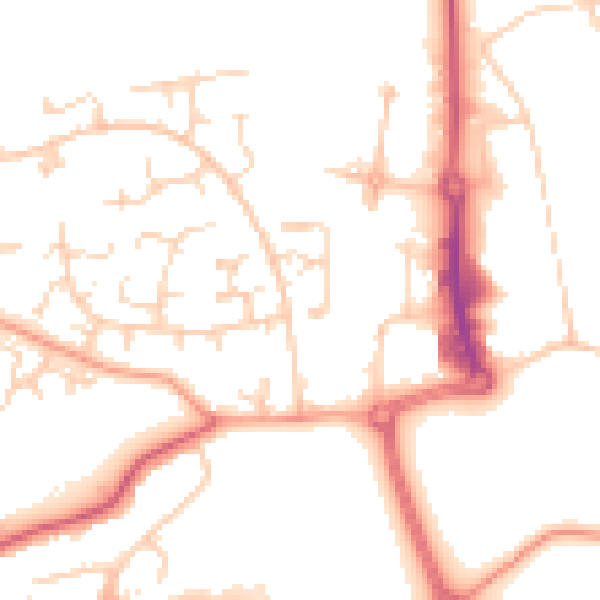
Daytime· 07:00 – 23:00
51.2dB
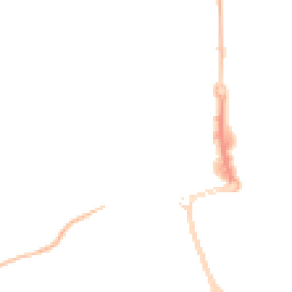
Night-time· 23:00 – 07:00
41.9dB