30 Ashleigh Grove, Sunderland, SR6 9EF
About 30 Ashleigh Grove
30 Ashleigh Grove is an end-of-terrace house in Sunderland (SR6 9EF). It has a recorded floor area of 106 m² (around 1141 sq ft), construction records dating it to 1900-1929 and council tax band B. The latest certificate (September 2021) shows a D (score 59), a step below the typical UK home. The recommended improvements would push it to C (score 79).
Across 2022–2024, sale prices on this property compounded at 12.2% per year. On a £-per-square-foot basis, the last sale (£193/sq ft) was about 50.7% above the typical sold price in the postcode. Last sale on file: £220,000 in November 2024.
Know exactly what you're buying at 30 Ashleigh Grove
Before you offer, see what the listing won't tell you, the true value, the red flags and the full history.
Valuation
against the asking price
Risks
planning & flood
Sold prices
similar homes nearby
Trends
the local market
Energy performance
EPC Rating
Planning history
30 Ashleigh Grove has no planning applications on record.
The full report still covers planning activity across the surrounding area.
Sales history & valuation
30 Ashleigh Grove valuation sits well clear of the typical sold price in this postcode.
£232,000
Modelled from EPC, postcode comparables and a sale-price growth of 12.2% per year over 3 years.
£220,000
Growth on file: 12.2% per year over 3 years.
Sales timeline
15 November 2024Most recent
£220,000
+34.6%over 2 years21 April 2022
£163,500
Median price across the last 5 sales in SR6 9EF: £200,000 (2024–2019).
Nearby sales in SR6 9EF
Everything we know about 30 Ashleigh Grove, in one report
What it's really worth, what could be wrong, and the planning, sales and area data in full.
- Am I paying too much?
- Is something wrong with it?
- Is the agent's story true?
- Will it hold its value?

Versus other Ashleigh Grove homes
30 Ashleigh Grove is notably below the street on years held.
Price per m²
£2,075
Street avg £1,542
Floor Area
106 m²
Street avg 108 m²
Habitable Rooms
5 rooms
Street avg 5 rooms
CO₂ Emissions
5.2 t/year
Street avg 5.0 t/year
Similar properties nearby
The neighbourhood at a glance
Crime
4/mo
Steady year-on-year across the wider district.
Nearest stop
0.1 km
Sea Road-Rockville — bus stop.
Closest school
0.1 km
Fulwell Junior School. 15 schools nearby.
Go deeper on the local area
The full report breaks down crime, transport links, schools and air quality in depth.
Road noise across the postcode
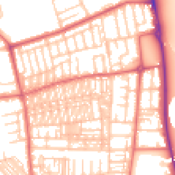
Daytime· 07:00 – 23:00
54.8dB

Night-time· 23:00 – 07:00
42.6dB