9 Bransdale Avenue, Sunderland, SR6 8AG
About 9 Bransdale Avenue
9 Bransdale Avenue is a three-bedroom semi-detached house in Sunderland (SR6 8AG). It has a recorded floor area of 105 m² (around 1130 sq ft), construction records dating it to 1930-1949 and council tax band D. The latest certificate (September 2023) shows a D (score 64), on the cusp of jumping into the C band. The recommended improvements would push it to C (score 79). Our model identifies extension potential, subject to local planning policy.
Across 2023–2025, sale prices on this property compounded at -53.5% per year. Today's modelled estimate of £257,000 sits 137.5% above the 2025 sale of £108,217. On a £-per-square-foot basis, the last sale (£96/sq ft) was about 45.2% below the postcode norm. Most recent transfer was May 2025 at £108,217 — fresh data. One planning record on file: an extension approved in 2024. Past consents include an extension and a porch, meaningful when judging how the property has evolved. At 105 m² it's 17.3% smaller than the typical home in the postcode (127 m² median across 4 EPCs).
Know exactly what you're buying at 9 Bransdale Avenue
Before you offer, see what the listing won't tell you, the true value, the red flags and the full history.
Valuation
against the asking price
Risks
planning & flood
Sold prices
similar homes nearby
Trends
the local market
What this property has
Inside
- Bedrooms3
- Bathrooms1
Outside
- Private gardenYes
- ParkingOff road
Building
- Extension potentialPossible
Energy performance
EPC Rating
Planning history
- Apr 2024PorchFullIn report
Extension: Single storey
Replace existing porch and garage with new enlarged porch and single story side extension for garage and shower room with render finish.
- Agent
- Cummings Architects Ltd
Extension- Documents
- 7 docs on file
- Reference
- 24/00470/FUL
What's in 9 Bransdale Avenue, Sunderland, SR6 8AG's planning history?
Refusals, disputes and full decisions on this property and nearby, in the report.
Sales history & valuation
9 Bransdale Avenue changed hands twice within eighteen months — unusual for the area.
£257,000
Modelled from EPC, postcode comparables and a sale-price growth of -53.5% per year over 1 year.
£108,217
Growth on file: -53.5% per year over 1 year.
Sales timeline
1 May 2025Most recent
£108,217
-66.2%over 1 year1 December 2023
£320,000
Median price across the last 5 sales in SR6 8AG: £234,000 (2022–2011).
Nearby sales in SR6 8AG
17 Bransdale Avenue, Sunderland, SR6 8AG
Sold May 2022
£352,50014 Bransdale Avenue, Sunderland, SR6 8AG
Sold Feb 2021
£299,95011 Bransdale Avenue, Sunderland, SR6 8AG
Sold Mar 2016
£192,0002 Bransdale Avenue, Sunderland, SR6 8AG
Sold Nov 2007
£460,0001 Bransdale Avenue, Sunderland, SR6 8AG
Sold Jan 2006
£475,000
Everything we know about 9 Bransdale Avenue, in one report
What it's really worth, what could be wrong, and the planning, sales and area data in full.
- Am I paying too much?
- Is something wrong with it?
- Is the agent's story true?
- Will it hold its value?

Versus other Bransdale Avenue homes
9 Bransdale Avenue is notably below the street on price per m².
Price per m²
£1,031
Street avg £2,642
Floor Area
105 m²
Street avg 122 m²
Habitable Rooms
6 rooms
Street avg 5 rooms
CO₂ Emissions
4.8 t/year
Street avg 6.2 t/year
Similar properties nearby
The neighbourhood at a glance
Daytime road noise here sits well below conversation level — a quiet pocket of the postcode.
Crime
4/mo
Steady year-on-year across the wider district.
Nearest stop
0.1 km
Bransdale Avenue — bus stop.
Closest school
0.9 km
Whitburn Village Primary School. 12 schools nearby.
Go deeper on the local area
The full report breaks down crime, transport links, schools and air quality in depth.
Road noise across the postcode
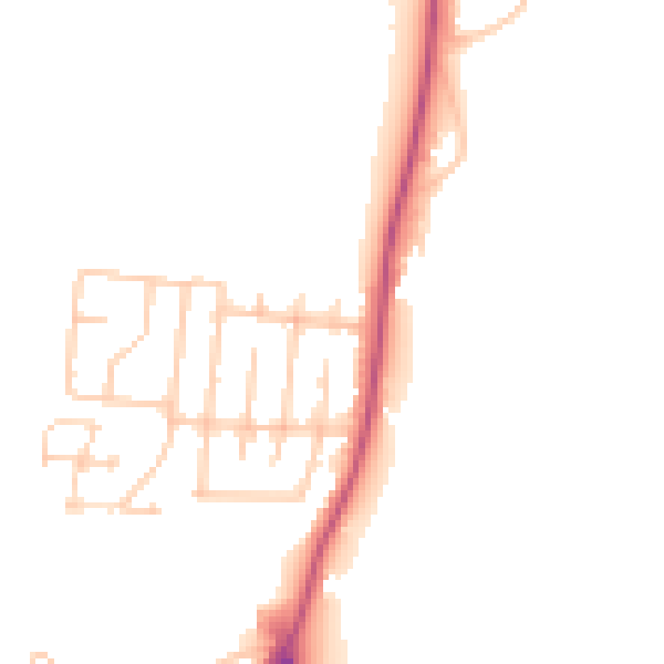
Daytime· 07:00 – 23:00
47.7dB

Night-time· 23:00 – 07:00
39.8dB