11 Bransdale Avenue, Sunderland, SR6 8AG
About 11 Bransdale Avenue
11 Bransdale Avenue is a three-bedroom semi-detached house in Sunderland (SR6 8AG). It has a recorded floor area of 102 m² (around 1098 sq ft), construction records dating it to 1930-1949 and council tax band D. The latest certificate (December 2015) shows an E (score 41), well below the UK norm with real room to improve. The recommended improvements would lift it to B (score 82), a 3-band jump. The latest certificate is from December 2015, so improvements made since then won't be reflected.
At 102 m² it's 19.7% smaller than the typical home in the postcode (127 m² median across 4 EPCs). On energy efficiency it sits in the bottom 10% of properties in this postcode — significant headroom for improvement. 2 planning records sit against the property, 2 approved, 0 refused. Past consents include an extension and a porch, meaningful when judging how the property has evolved. On the market in March 2016 and unlisted since — roughly 10 years. Today's modelled estimate of £280,000 is 45.8% above the 2016 sale price.
Know exactly what you're buying at 11 Bransdale Avenue
Before you offer, see what the listing won't tell you, the true value, the red flags and the full history.
Valuation
against the asking price
Risks
planning & flood
Sold prices
similar homes nearby
Trends
the local market
What this property has
Inside
- Bedrooms3
- Bathrooms1
Energy performance
11 Bransdale Avenue sits at the bottom of the postcode for energy efficiency — meaningful headroom to improve.
EPC Expired
This certificate is over 10 years old and is no longer valid.Expired 01 Dec 2025
EPC Rating
Planning history
- Dec 2018RenovationFullIn report
Rendering to front and rear elevations and extend hardstanding to front.
- Documents
- 8 docs on file
- Reference
- 18/01928/FUL
- Jul 2017PorchFullIn report
Erection of two storey side extension, single storey rear extension and porch to front.
Extension- Documents
- 11 docs on file
- Reference
- 17/00958/FUL
What's in 11 Bransdale Avenue, Sunderland, SR6 8AG's planning history?
Refusals, disputes and full decisions on this property and nearby, in the report.
Sales history & valuation
£280,000
Modelled from EPC, postcode comparables.
£192,000
Recorded with HM Land Registry.
Sales timeline
24 March 2016Most recent
£192,000
Median price across the last 5 sales in SR6 8AG: £299,950 (2025–2017).
Nearby sales in SR6 8AG
9 Bransdale Avenue, Sunderland, SR6 8AG
Sold May 2025
£108,21717 Bransdale Avenue, Sunderland, SR6 8AG
Sold May 2022
£352,50014 Bransdale Avenue, Sunderland, SR6 8AG
Sold Feb 2021
£299,9502 Bransdale Avenue, Sunderland, SR6 8AG
Sold Nov 2007
£460,0001 Bransdale Avenue, Sunderland, SR6 8AG
Sold Jan 2006
£475,000
Everything we know about 11 Bransdale Avenue, in one report
What it's really worth, what could be wrong, and the planning, sales and area data in full.
- Am I paying too much?
- Is something wrong with it?
- Is the agent's story true?
- Will it hold its value?

Versus other Bransdale Avenue homes
On epc rating, 11 Bransdale Avenue runs well behind the street norm.
Price per m²
£1,882
Street avg £2,430
Floor Area
102 m²
Street avg 123 m²
Habitable Rooms
5 rooms
Street avg 6 rooms
CO₂ Emissions
8.3 t/year
Street avg 5.3 t/year
Similar properties nearby
The neighbourhood at a glance
Daytime road noise here sits well below conversation level — a quiet pocket of the postcode.
Crime
4/mo
Steady year-on-year across the wider district.
Nearest stop
0.1 km
Bransdale Avenue — bus stop.
Closest school
0.9 km
Whitburn Village Primary School. 12 schools nearby.
Go deeper on the local area
The full report breaks down crime, transport links, schools and air quality in depth.
Road noise across the postcode
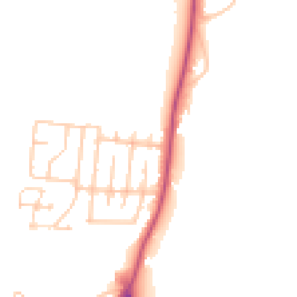
Daytime· 07:00 – 23:00
47.7dB

Night-time· 23:00 – 07:00
39.8dB