17 Bransdale Avenue, Sunderland, SR6 8AG
About 17 Bransdale Avenue
17 Bransdale Avenue is a three-bedroom semi-detached house in Sunderland (SR6 8AG). It has a recorded floor area of 127 m² (around 1367 sq ft), construction records dating it to 1950-1966 and council tax band D. The latest certificate (January 2022) shows a D (score 61), on the cusp of jumping into the C band. When first surveyed in July 2011 the rating was E, the property has climbed 1 band since. Between certificates, hot-water efficiency went from Poor to Good and lighting went from Good to Very Good; while roof efficiency dropped from Good to Very Poor. The recommended improvements would push it to C (score 79). Records show the property has been extended at some point in its history.
One planning record on file: an extension approved in 2013. Past consents include an extension, meaningful when judging how the property has evolved. Across 2011–2022, sale prices on this property compounded at 9.8% per year. On a £-per-square-foot basis, the last sale (£258/sq ft) was about 33.1% above the typical sold price in the postcode. Sold May 2022 for £352,500. That sale was during the post-pandemic price surge, when transactions cleared materially above pre-2020 trend.
Know exactly what you're buying at 17 Bransdale Avenue
Before you offer, see what the listing won't tell you, the true value, the red flags and the full history.
Valuation
against the asking price
Risks
planning & flood
Sold prices
similar homes nearby
Trends
the local market
What this property has
Inside
- Bedrooms3
- Bathrooms2
- Dining roomYes
- CloakroomYes
- EnsuiteYes
Outside
- Private gardenYes
- DrivewayYes
Building
- Previously extendedYes
Energy performance
17 Bransdale Avenue's carbon output runs well above what efficient homes in the postcode produce.
EPC Rating
Property Improvements
Changes detected from historical EPC data
Heating controls upgraded for better temperature management
Hot water system upgraded
More low energy lighting installed
Planning history
17 Bransdale Avenue has an approved single-storey side and rear extension on the planning record.
- Jun 2013ExtensionFullIn report
Extension: Single storey · Side and rear of property
Erection of a single storey side/rear extension.
- Documents
- 5 docs on file
- Reference
- 13/01123/FUL
What's in 17 Bransdale Avenue, Sunderland, SR6 8AG's planning history?
Refusals, disputes and full decisions on this property and nearby, in the report.
Sales history & valuation
17 Bransdale Avenue has more than doubled in price since the earliest registered sale in 2011.
£369,000
Modelled from EPC, postcode comparables and a sale-price growth of 9.8% per year over 11 years.
£352,500
Growth on file: 9.8% per year over 11 years.
Sales timeline
26 May 2022Most recent
£352,500
+60.3%over 10 years20 September 2011
£219,950
+78.3%over 7 months18 February 2011
£123,333
Median price across the last 5 sales in SR6 8AG: £234,000 (2025–2016).
Nearby sales in SR6 8AG
9 Bransdale Avenue, Sunderland, SR6 8AG
Sold May 2025
£108,21714 Bransdale Avenue, Sunderland, SR6 8AG
Sold Feb 2021
£299,95011 Bransdale Avenue, Sunderland, SR6 8AG
Sold Mar 2016
£192,0002 Bransdale Avenue, Sunderland, SR6 8AG
Sold Nov 2007
£460,0001 Bransdale Avenue, Sunderland, SR6 8AG
Sold Jan 2006
£475,000
Everything we know about 17 Bransdale Avenue, in one report
What it's really worth, what could be wrong, and the planning, sales and area data in full.
- Am I paying too much?
- Is something wrong with it?
- Is the agent's story true?
- Will it hold its value?

Versus other Bransdale Avenue homes
Habitable Rooms for 17 Bransdale Avenue runs comfortably ahead of the street norm.
Price per m²
£2,776
Street avg £2,206
Floor Area
127 m²
Street avg 116 m²
Habitable Rooms
6 rooms
Street avg 5 rooms
CO₂ Emissions
6.2 t/year
Street avg 5.9 t/year
Similar properties nearby
The neighbourhood at a glance
Daytime road noise here sits well below conversation level — a quiet pocket of the postcode.
Crime
4/mo
Steady year-on-year across the wider district.
Nearest stop
0.1 km
Bransdale Avenue — bus stop.
Closest school
0.9 km
Whitburn Village Primary School. 12 schools nearby.
Go deeper on the local area
The full report breaks down crime, transport links, schools and air quality in depth.
Road noise across the postcode
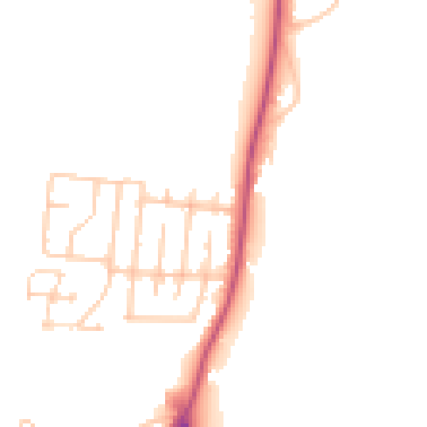
Daytime· 07:00 – 23:00
47.7dB

Night-time· 23:00 – 07:00
39.8dB