St Peters Vicarage, St Peters Way, Sunderland, SR6 0DY
About St Peters Vicarage
St Peters Vicarage is a detached house in Sunderland (SR6 0DY). It has a recorded floor area of 159 m² (around 1711 sq ft), construction records dating it to 1967-1975 and council tax band D. The latest certificate (April 2019) shows a D (score 61), on the cusp of jumping into the C band. The recommended improvements would lift it to B (score 83), a 2-band jump.
3 planning records sit against the property, 3 approved, 0 refused. Past consents include an extension, new windows and partial demolition, meaningful when judging how the property has evolved. The record references listed-building consent, which constrain future alterations. Today's modelled estimate of £342,000 is 33.6% above the 2020 sale price. Most recent transfer: June 2020 at £256,000.
Everything you need to know about St Peters Vicarage
The true value, the hidden risks and the full sale history, in one report.
Pick your report · from £14.99
One time fee only - money back guarantee

The data behind every report





Energy performance
St Peters Vicarage's carbon output runs well above what efficient homes in the postcode produce.
EPC Rating
Certificate validity
Valid until 3 April 2029

Get a survey for this property
Level 2 HomeBuyer Report
We've checked 10 risk factors against the available data for this property and believe a Level 2 HomeBuyer Report could be a suitable option for you.
From £595 · Includes VAT
Planning history
Planning history includes recorded demolition works, indicating a major rebuild phase at this address.
3 applications on record at St Peters Vicarage, St Peters Way, Sunderland, SR6 0DY
- Mar 2009DemolitionFullOutcome in report
Marking out of the footprint of the excavated structures associated with the Anglo-Saxon monastery, the insertion of a new gate in the boundary fence surrounding the churchyard, to facilitate public and visitor access from the National Glass Centre and the demolition of a defunct flagpole in the churchyard.
Listed- Documents
- 21 docs on file
- Reference
- 08/04726/FUL
- More recent applications — locked
- ExtensionDec 2021Decision
- RenovationDec 2020Decision
Unlock St Peters Vicarage, St Peters Way, Sunderland, SR6 0DY's full planning history
You're seeing the shape of it. The report has the substance.
- Every decision — granted, refused or withdrawn (3 on record)
- All 3 applications on this property in full, plus 2 notable nearby
- The 50 documents, officer reports & conditions
- What the pattern means for extending or converting here
One time fee only - money back guarantee
Sales history & valuation
The latest sale landed in the post-pandemic price surge — useful context when reading the figure.
£342,000
Modelled from EPC, postcode comparables.
£256,000
Recorded with HM Land Registry.
Sales timeline
4 June 2020Most recent
£256,000
Everything you need to know about St Peters Vicarage
The true value, the hidden risks and the full sale history, in one report.
Pick your report · from £14.99
One time fee only - money back guarantee
The data behind every report
Similar properties nearby
The neighbourhood at a glance
Crime
177/mo
Falling year-on-year across the wider district.
Nearest stop
0.0 km
St Peters Way — bus stop.
Closest school
0.1 km
Dame Dorothy Primary School. 25 schools nearby.
Go deeper on the local area
A Local Area report breaks down crime, transport links, schools and air quality in depth.
Road noise across the postcode
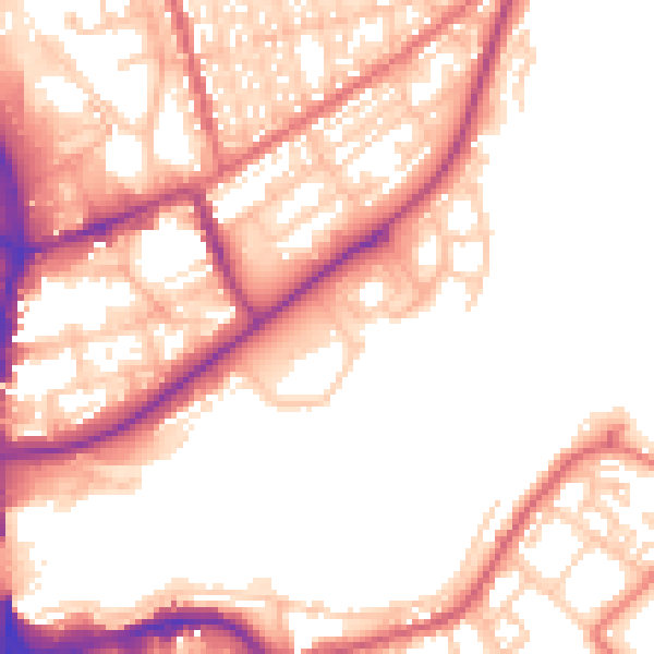
Daytime· 07:00 – 23:00
54.6dB

Night-time· 23:00 – 07:00
44.7dB