20 Beachville Street, Sunderland, SR4 7NA
About 20 Beachville Street
20 Beachville Street is a three-bedroom mid-terrace house in Sunderland (SR4 7NA). It has a recorded floor area of 152 m² (around 1636 sq ft), construction records dating it to 1900-1929 and council tax band A. The latest certificate (February 2016) shows a D (score 57), a step below the typical UK home. When first surveyed in November 2013 the rating was E, the property has climbed 1 band since. Between certificates, wall efficiency went from Poor to Good, roof efficiency went from Very Poor to Good and window efficiency went from Average to Good. The recommended improvements would push it to C (score 78). The latest certificate is from February 2016, so improvements made since then won't be reflected.
Untraded for 19 years, with the last transfer in August 2007. That sale landed at the peak of the pre-credit-crunch market, which is a useful reference point when interpreting the price. At 152 m² the property is well over the postcode median (86 m² across 21 EPCs), placing it in the larger end of the local stock. Today's modelled estimate of £137,000 is 30.5% above the 2007 sale price. On a £-per-square-foot basis, the last sale (£64/sq ft) was about 19.1% below the postcode norm.
What this property has
Inside
- Bedrooms3
- Bathrooms1
- Dining roomYes
- CloakroomYes
Outside
- Private gardenYes
Everything you need to know about 20 Beachville Street
The true value, the hidden risks and the full sale history, in one report.
Pick your report · every report is £14.99
One time fee only - money back guarantee

The data behind every report


Energy performance
20 Beachville Street's carbon output runs well above what efficient homes in the postcode produce.
EPC Expired
This certificate is over 10 years old and is no longer valid.Expired 28 Feb 2026
EPC Rating
Property Improvements
Changes detected from historical EPC data
Heating controls upgraded for better temperature management
Heating controls changed
Window efficiency improved
Cavity wall insulation installed
Roof insulation improved
More low energy lighting installed
Get a survey for this property
Level 3 Building Survey
Because the property was built before 1919, we believe a Level 3 building survey should be considered.
From £820 · Includes VAT
Planning history
20 Beachville Street has no planning applications on record.
But the area is active
10 notable applications nearby — larger schemes and conversions that could reshape the street. The report maps them all.
Sales history & valuation
The latest sale landed at the peak of the pre-credit-crunch market — a high-water reference point.
£137,000
Modelled from EPC, postcode comparables.
£105,000
Recorded with HM Land Registry.
Sales timeline
30 August 2007Most recent
£105,000
Median price across the last 5 sales in SR4 7NA: £102,000 (2025–2021).
Nearby sales in SR4 7NA
5 Beachville Street, Sunderland, SR4 7NA
Sold Jul 2025
£102,0003 Beachville Street, Sunderland, SR4 7NA
Sold Apr 2024
£115,00021 Beachville Street, Sunderland, SR4 7NA
Sold Oct 2022
£79,0001 Beachville Street, Sunderland, SR4 7NA
Sold Sept 2021
£100,0007 Beachville Street, Sunderland, SR4 7NA
Sold May 2021
£199,950
Versus other Beachville Street homes
On floor area, 20 Beachville Street stands well clear of the street.
Price per m²
£691
Street avg £977
Floor Area
152 m²
Street avg 94 m²
Habitable Rooms
6 rooms
Street avg 5 rooms
CO₂ Emissions
8.0 t/year
Street avg 5.1 t/year
Everything you need to know about 20 Beachville Street
The true value, the hidden risks and the full sale history, in one report.
Pick your report · every report is £14.99
One time fee only - money back guarantee
The data behind every report
Similar properties nearby
1 Beachville Street
SR4 7NA
1 Blackett Terrace
SR4 7XD
1 Bexley Street
SR4 7TL
1 Chester Street
SR4 7DF
1 Colchester Terrace
SR4 7RY
1 Broxbourne Terrace
SR4 7DT
1 Angrove Gardens
SR4 7TB
1 Burnville Road South
SR4 7LT
The neighbourhood at a glance
Rail-style transport is unusually close for this postcode.
Crime
3/mo
Rising year-on-year across the wider district.
Nearest stop
0.1 km
Durham Road-Eden House Road — bus stop.
Closest school
0.5 km
St Anthony's Girls' Catholic Academy. 38 schools nearby.
Go deeper on the local area
A Local Area report breaks down crime, transport links, schools and air quality in depth.
Road noise across the postcode
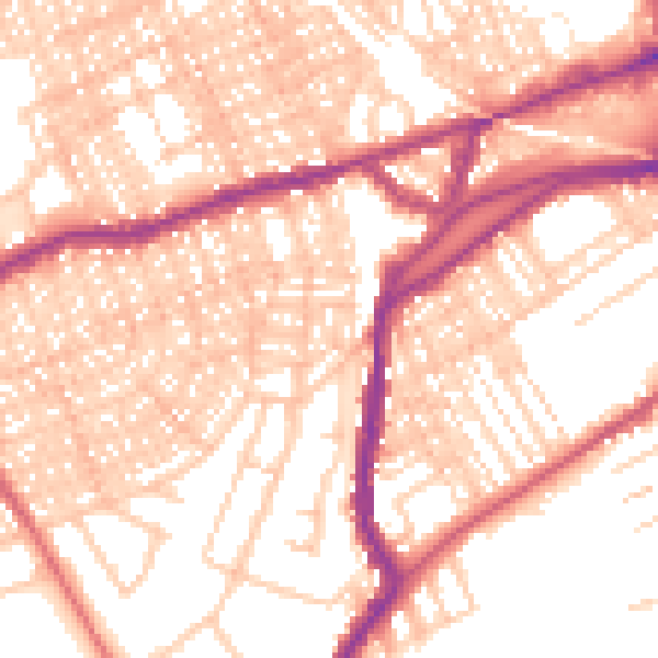
Daytime· 07:00 – 23:00
55.8dB

Night-time· 23:00 – 07:00
44.2dB