28 Falkland Road, Sunderland, SR4 6XA
About 28 Falkland Road
28 Falkland Road is a semi-detached house in Sunderland (SR4 6XA). It has a recorded floor area of 93 m² (around 1001 sq ft), construction records dating it to 1950-1966 and council tax band A. The latest certificate (August 2022) shows a D (score 66), on the cusp of jumping into the C band. The rating has held steady at D across 2 certificates since March 2022. The recommended improvements would push it to C (score 78).
It changed hands recently, sold October 2025 for £130,000. Today's modelled estimate of £149,000 is 14.6% above the 2025 sale price. On a £-per-square-foot basis, the last sale (£130/sq ft) was about 30.1% above the typical sold price in the postcode.
Everything you need to know about 28 Falkland Road
The true value, the hidden risks and the full sale history, in one report.
Pick your report · every report is £14.99
One time fee only - money back guarantee

The data behind every report


Energy performance
EPC Rating
Property Improvements
Changes detected from historical EPC data
Solar PV panels (20 kWp) installed
Get a survey for this property
Level 3 Building Survey
Because the property has been extended more than once, we believe a Level 3 building survey should be considered.
From £820 · Includes VAT
Planning history
28 Falkland Road has no planning applications on record.
But the area is active
1 notable application nearby — larger schemes and conversions that could reshape the street. The report maps them all.
Sales history & valuation
28 Falkland Road valuation sits well clear of the typical sold price in this postcode.
£149,000
Modelled from EPC, postcode comparables.
£130,000
Recorded with HM Land Registry.
Sales timeline
5 October 2025Most recent
£130,000
Median price across the last 5 sales in SR4 6XA: £99,000 (2024–2008).
Nearby sales in SR4 6XA
Versus other Falkland Road homes
28 Falkland Road is notably below the street on years held.
Price per m²
£1,398
Street avg £982
Floor Area
93 m²
Street avg 82 m²
Habitable Rooms
5 rooms
Street avg 4 rooms
CO₂ Emissions
4.3 t/year
Street avg 3.3 t/year
Everything you need to know about 28 Falkland Road
The true value, the hidden risks and the full sale history, in one report.
Pick your report · every report is £14.99
One time fee only - money back guarantee
The data behind every report
Similar properties nearby
The neighbourhood at a glance
Reported crime in the wider district is trending notably upward year-on-year.
Crime
3/mo
Rising year-on-year across the wider district.
Nearest stop
0.1 km
Fordfield Road-Fourstones Road — bus stop.
Closest school
0.5 km
Diamond Hall Infant Academy. 35 schools nearby.
Go deeper on the local area
A Local Area report breaks down crime, transport links, schools and air quality in depth.
Road noise across the postcode
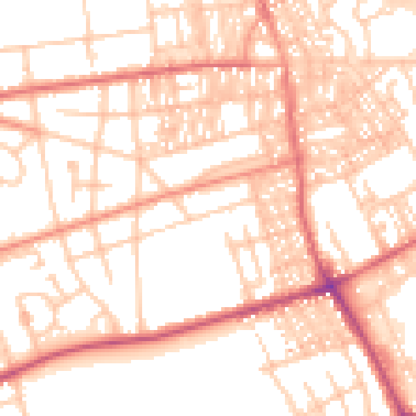
Daytime· 07:00 – 23:00
53.8dB

Night-time· 23:00 – 07:00
42.3dB