3 Corning Road, Sunderland, SR4 6EE
About 3 Corning Road
3 Corning Road is a semi-detached house in Sunderland (SR4 6EE). It has a recorded floor area of 85 m² (around 915 sq ft) and council tax band C. The latest certificate (November 2012) shows a C (score 79), near the top of the C band. The latest certificate is from November 2012, so improvements made since then won't be reflected.
Across 2013–2019, sale prices on this property compounded at 1.7% per year. Today's modelled estimate of £173,000 is 15.3% above the 2019 sale price. Last sale on file: £150,000 in November 2019.
Everything you need to know about 3 Corning Road
The true value, the hidden risks and the full sale history, in one report.
Pick your report · every report is £14.99
One time fee only - money back guarantee

The data behind every report


Energy performance
3 Corning Road's EPC is over a decade old — improvements since won't be reflected.
EPC Expired
This certificate is over 10 years old and is no longer valid.Expired 30 Nov 2022
EPC Rating
Get a survey for this property
Level 2 HomeBuyer Report
We've checked 10 risk factors against the available data for this property and believe a Level 2 HomeBuyer Report could be a suitable option for you.
From £495 · Includes VAT
Planning history
3 Corning Road has no planning applications on record.
But the area is active
1 notable application nearby — larger schemes and conversions that could reshape the street. The report maps them all.
Sales history & valuation
£173,000
Modelled from EPC, postcode comparables and a sale-price growth of 1.7% per year over 6 years.
£150,000
Growth on file: 1.7% per year over 6 years.
Sales timeline
8 November 2019Most recent
£150,000
+11.2%over 6 years13 June 2013
£134,950
Median price across the last 5 sales in SR4 6EE: £160,000 (2025–2025).
Nearby sales in SR4 6EE
Versus other Corning Road homes
CO₂ Emissions for 3 Corning Road runs comfortably ahead of the street norm.
Price per m²
£1,765
Street avg £1,866
Floor Area
85 m²
Street avg 88 m²
CO₂ Emissions
1.8 t/year
Street avg 2.0 t/year
Years Held
7 years
Street avg 8 years
Everything you need to know about 3 Corning Road
The true value, the hidden risks and the full sale history, in one report.
Pick your report · every report is £14.99
One time fee only - money back guarantee
The data behind every report
Similar properties nearby
The neighbourhood at a glance
Rail-style transport is unusually close for this postcode.
Crime
3/mo
Rising year-on-year across the wider district.
Nearest stop
0.1 km
Pallion New Road-Bridge — bus stop.
Closest school
0.5 km
St Joseph's Catholic Primary School, Sunderland. 38 schools nearby.
Go deeper on the local area
A Local Area report breaks down crime, transport links, schools and air quality in depth.
Road noise across the postcode
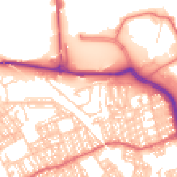
Daytime· 07:00 – 23:00
55.9dB

Night-time· 23:00 – 07:00
44.1dB