21 Corning Road, Sunderland, SR4 6EE
About 21 Corning Road
21 Corning Road is an end-of-terrace house in Sunderland (SR4 6EE). It has a recorded floor area of 85 m² (around 915 sq ft) and council tax band C. The latest certificate (July 2012) returns a B (score 81), comfortably above the UK average. The latest certificate is from July 2012, so improvements made since then won't be reflected.
Its energy rating outperforms most of the postcode (better than 78% of similar EPCs). Today's modelled estimate of £159,000 is 24.7% above the 2012 sale price. On a £-per-square-foot basis, the last sale (£139/sq ft) was about 18.6% below the postcode norm. 13 years since the last transfer (December 2012).
Everything you need to know about 21 Corning Road
The true value, the hidden risks and the full sale history, in one report.
Pick your report · every report is £14.99
One time fee only - money back guarantee

The data behind every report


Energy performance
21 Corning Road's EPC is over a decade old — improvements since won't be reflected.
EPC Expired
This certificate is over 10 years old and is no longer valid.Expired 01 Jul 2022
EPC Rating
Get a survey for this property
Level 2 HomeBuyer Report
We've checked 10 risk factors against the available data for this property and believe a Level 2 HomeBuyer Report could be a suitable option for you.
From £495 · Includes VAT
Planning history
21 Corning Road has no planning applications on record.
But the area is active
1 notable application nearby — larger schemes and conversions that could reshape the street. The report maps them all.
Sales history & valuation
£159,000
Modelled from EPC, postcode comparables.
£127,500
Recorded with HM Land Registry.
Sales timeline
20 December 2012Most recent
£127,500
Median price across the last 5 sales in SR4 6EE: £160,000 (2025–2025).
Nearby sales in SR4 6EE
Versus other Corning Road homes
On years held, 21 Corning Road stands well clear of the street.
Price per m²
£1,500
Street avg £1,870
Floor Area
85 m²
Street avg 88 m²
CO₂ Emissions
1.6 t/year
Street avg 2.0 t/year
Years Held
13 years
Street avg 8 years
Everything you need to know about 21 Corning Road
The true value, the hidden risks and the full sale history, in one report.
Pick your report · every report is £14.99
One time fee only - money back guarantee
The data behind every report
Similar properties nearby
The neighbourhood at a glance
Rail-style transport is unusually close for this postcode.
Crime
3/mo
Rising year-on-year across the wider district.
Nearest stop
0.1 km
Pallion New Road-Bridge — bus stop.
Closest school
0.5 km
St Joseph's Catholic Primary School, Sunderland. 38 schools nearby.
Go deeper on the local area
A Local Area report breaks down crime, transport links, schools and air quality in depth.
Road noise across the postcode
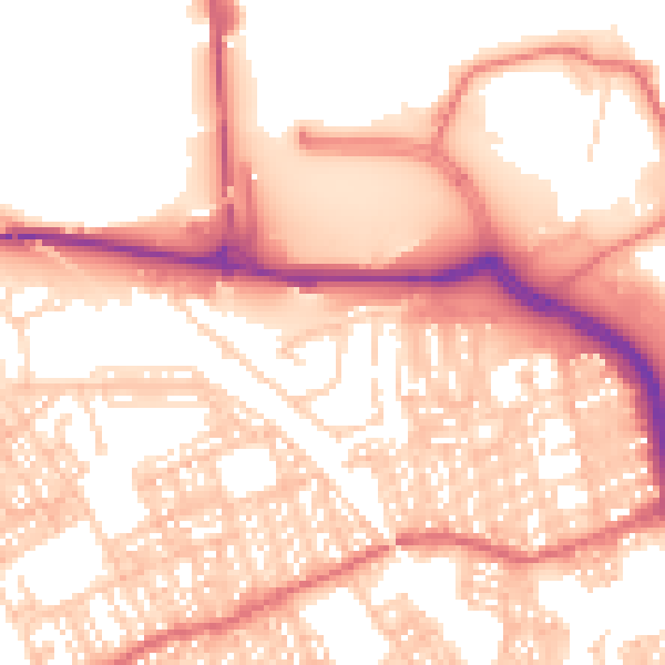
Daytime· 07:00 – 23:00
55.9dB

Night-time· 23:00 – 07:00
44.1dB