Flat 2, 5 Hudson Road, Sunderland, SR1 2AQ
About Flat 2
Flat 2 is a mid-terrace house in Sunderland (SR1 2AQ). It has a recorded floor area of 96 m² (around 1033 sq ft), construction records dating it to 1967-1975 and council tax band A. The latest certificate (September 2019) shows an E (score 50), well below the UK norm with real room to improve. The recommended improvements would lift it to C (score 79), a 2-band jump. Main heating runs on electricity. At 96 m² this is the 2nd smallest of 3 units on EPC record in the building, where floor areas span 45–115 m². The building's EPC ratings span G to D across 3 units on file.
At 96 m² the property is well over the postcode median (64 m² across 15 EPCs), placing it in the larger end of the local stock.
Everything you need to know about Flat 2
The true value, the hidden risks and the full sale history, in one report.
30-day money-back guarantee

The data behind every report


Energy performance
Recommended upgrades on file would lift this property by multiple EPC bands.
EPC Rating
Planning history
Flat 2 has no planning applications on record.
The full report still covers planning activity across the surrounding area.
Sales history & valuation
Flat 2 has no Land Registry sales on file, suggesting it has stayed in the same hands since registration began.
£113,000
Modelled from EPC, postcode comparables.
No sales recorded with HM Land Registry
That can mean the property has never traded since the registry began publishing in 1995, was a new build that hasn't been registered yet, or is held in the same hands long-term.
Median price across the last 5 sales in SR1 2AQ: £80,000 (2019–2002).
Versus other Hudson Road homes
EPC Rating
50 (E)
Street avg 50 (E)
Floor Area
96 m²
Street avg 79 m²
CO₂ Emissions
4.7 t/year
Street avg 5.3 t/year
Habitable Rooms
4 rooms
Street avg 4 rooms
Everything you need to know about Flat 2
The true value, the hidden risks and the full sale history, in one report.
30-day money-back guarantee
The data behind every report
Similar properties nearby
Allan House Scotia Quay, Flat 38, Low Street
SR1 2RE
Allan House Scotia Quay, Flat 37, Low Street
SR1 2RE
Allan House Scotia Quay, Flat 39, Low Street
SR1 2RE
16 17, Flat A, Hendon Road
SR1 2JD
16 17, Flat B, Hendon Road
SR1 2JD
18 19, Flat 14, Murton Street
SR1 2QY
18 19, Flat 10, Murton Street
SR1 2QY
18 19, Flat 6, Murton Street
SR1 2QY
The neighbourhood at a glance
Rail-style transport is unusually close for this postcode.
Crime
10/mo
Rising year-on-year across the wider district.
Nearest stop
0.1 km
Borough Road-Nile Street — bus stop.
Closest school
0.2 km
Hudson Road Primary School. 25 schools nearby.
Go deeper on the local area
The full report breaks down crime, transport links, schools and air quality in depth.
Road noise across the postcode
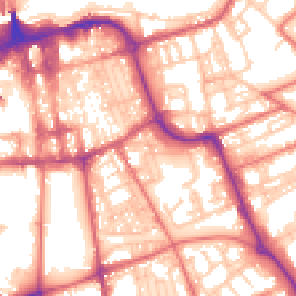
Daytime· 07:00 – 23:00
57.8dB

Night-time· 23:00 – 07:00
46.3dB