10 Cypress Way, Gillingham, SP8 4BY
About 10 Cypress Way
10 Cypress Way is a two-bedroom mid-terrace house in Gillingham (SP8 4BY). It has a recorded floor area of 71 m² (around 764 sq ft), construction records dating it to 1967-1975 and council tax band B. The latest certificate (September 2017) shows a D (score 60), on the cusp of jumping into the C band. The recommended improvements would lift it to B (score 88), a 2-band jump.
Across 2002–2020, sale prices on this property compounded at 3.6% per year. Today's modelled estimate of £241,000 is 33.9% above the 2020 sale price. On a £-per-square-foot basis, the last sale (£236/sq ft) was about 134.9% above the typical sold price in the postcode. Last sale on file: £180,000 in September 2020.
What this property has
Inside
- Bedrooms2
- Bathrooms2
Outside
- Private gardenFront and rear
Building
- RefurbishedYes
Everything you need to know about 10 Cypress Way
The true value, the hidden risks and the full sale history, in one report.
30-day money-back guarantee

The data behind every report


Energy performance
Recommended upgrades on file would lift this property by multiple EPC bands.
EPC Rating
Planning history
10 Cypress Way has no planning applications on record.
Notable planning nearby
2applications of note in the surrounding area
We flagged 1 thing worth checking at 10 Cypress Way
Independent checks surfaced things a buyer would want to understand before offering. The report explains each one in full, with the underlying data and what to ask.
- Larger development activity nearby
30-day money-back guarantee
Sales history & valuation
The latest sale landed in the post-pandemic price surge — useful context when reading the figure.
£241,000
Modelled from EPC, postcode comparables and a sale-price growth of 3.6% per year over 18 years.
£180,000
Growth on file: 3.6% per year over 18 years.
Sales timeline
17 September 2020Most recent
£180,000
+20.8%over 2 years10 September 2018
£149,000
+56.8%over 16 years8 August 2002
£95,000
Median price across the last 5 sales in SP8 4BY: £165,000 (2024–2016).
Versus other Cypress Way homes
On habitable rooms, 10 Cypress Way runs well behind the street norm.
Price per m²
£2,535
Street avg £2,083
Floor Area
71 m²
Street avg 77 m²
Habitable Rooms
3 rooms
Street avg 4 rooms
CO₂ Emissions
3.8 t/year
Street avg 3.9 t/year
Everything you need to know about 10 Cypress Way
The true value, the hidden risks and the full sale history, in one report.
30-day money-back guarantee
The data behind every report
Similar properties nearby
The neighbourhood at a glance
Daytime road noise here sits well below conversation level — a quiet pocket of the postcode.
Crime
2/mo
Steady year-on-year across the wider district.
Nearest stop
0.2 km
King Edmund Court — bus stop.
Closest school
0.4 km
Gillingham Primary School. 5 schools nearby.
Go deeper on the local area
The full report breaks down crime, transport links, schools and air quality in depth.
Road noise across the postcode
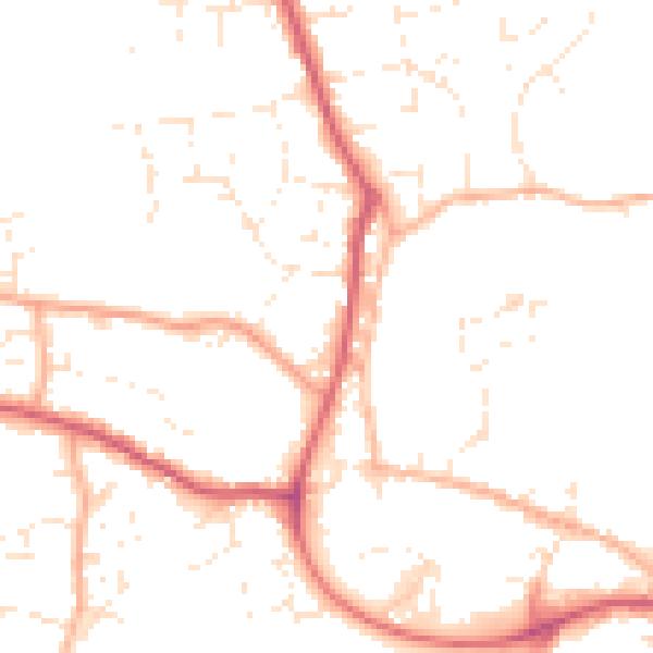
Daytime· 07:00 – 23:00
48.8dB

Night-time· 23:00 – 07:00
39.3dB