7 Hollman Drive, Romsey, SO51 8ES
About 7 Hollman Drive
7 Hollman Drive is an end-of-terrace house in Romsey (SO51 8ES). It has a recorded floor area of 76 m² (around 818 sq ft), construction records dating it to 1950-1966 and council tax band C. The latest certificate (February 2023) shows a D (score 65), on the cusp of jumping into the C band. The recommended improvements would push it to C (score 80).
At 76 m² it's 18.8% larger than the typical home in the postcode (64 m² median across 25 EPCs). It lags the bulk of the postcode on energy efficiency (less efficient than 80% of similar EPCs).
Know exactly what you're buying at 7 Hollman Drive
Before you offer, see what the listing won't tell you, the true value, the red flags and the full history.
Already flagged here
Valuation
against the asking price
Risks
planning & flood
Sold prices
similar homes nearby
Trends
the local market
Energy performance
EPC Rating
Planning history
7 Hollman Drive has no planning applications on record.
Notable planning nearby
2applications of note in the surrounding area
We flagged 1 thing worth checking at 7 Hollman Drive
Independent checks surfaced things a buyer would want to understand before offering. The report explains each one in full, with the underlying data and what to ask.
- Larger development activity nearby
30-day money-back guarantee
Sales history & valuation
7 Hollman Drive has no Land Registry sales on file, suggesting it has stayed in the same hands since registration began.
£303,000
Modelled from EPC, postcode comparables.
No sales recorded with HM Land Registry
That can mean the property has never traded since the registry began publishing in 1995, was a new build that hasn't been registered yet, or is held in the same hands long-term.
Median price across the last 5 sales in SO51 8ES: £335,000 (2021–2018).
Nearby sales in SO51 8ES
Everything we know about 7 Hollman Drive, in one report
What it's really worth, what could be wrong, and the planning, sales and area data in full.
What we flagged
- Larger development activity nearby

Versus other Hollman Drive homes
Habitable Rooms for 7 Hollman Drive lags the street by a wide margin.
EPC Rating
65 (D)
Street avg 69 (C)
Floor Area
76 m²
Street avg 78 m²
CO₂ Emissions
3.1 t/year
Street avg 2.8 t/year
Habitable Rooms
3 rooms
Street avg 5 rooms
Similar properties nearby
1 Kings Court, Alma Road
SO51 8EB
1 Hollman Drive
SO51 8ES
1 Fleming Place
SO51 8WH
1 Holt Court, Latimer Street
SO51 8LD
1 Comley Court, Bell Street
SO51 8AL
1 Fleur De Lis, Duttons Road
SO51 8LH
1 Farriers Mews, Love Lane
SO51 8TA
1 Abbey Lodge, Bridge Road
SO51 8LJ
The neighbourhood at a glance
Rail-style transport is unusually close for this postcode.
Crime
3/mo
Steady year-on-year across the wider district.
Nearest stop
0.3 km
Malthouse Close — bus stop.
Closest school
0.2 km
The Romsey School. 7 schools nearby.
Go deeper on the local area
The full report breaks down crime, transport links, schools and air quality in depth.
Road noise across the postcode
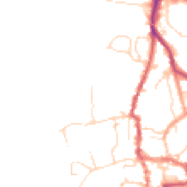
Daytime· 07:00 – 23:00
45.8dB

Night-time· 23:00 – 07:00
38.1dB