29 Portersbridge Street, Romsey, SO51 8DH
About 29 Portersbridge Street
29 Portersbridge Street is a three-bedroom mid-terrace house in Romsey (SO51 8DH). It has a recorded floor area of 87 m² (around 936 sq ft), construction records dating it to 1900-1929 and council tax band D. The latest certificate (August 2014) shows an F (score 36), near the bottom of the EPC scale. The recommended improvements would lift it to C (score 73), a 3-band jump. The latest certificate is from August 2014, so improvements made since then won't be reflected. Other recorded features include a basement.
At 87 m² the property is well over the postcode median (56 m² across 21 EPCs), placing it in the larger end of the local stock. On energy efficiency it sits in the bottom 10% of properties in this postcode — significant headroom for improvement. Across 1997–2015, sale prices on this property compounded at 8.3% per year. Today's modelled estimate of £378,000 is 32.6% above the 2015 sale price. On a £-per-square-foot basis, the last sale (£304/sq ft) was about 15.3% below the postcode norm. On the market in February 2015 and unlisted since — roughly 11 years.
Know exactly what you're buying at 29 Portersbridge Street
Before you offer, see what the listing won't tell you, the true value, the red flags and the full history.
Already flagged here
Valuation
against the asking price
Risks
planning & flood
Sold prices
similar homes nearby
Trends
the local market
What this property has
Inside
- Bedrooms3
- Dining roomYes
- BasementYes
Outside
- ParkingOff road
Energy performance
29 Portersbridge Street sits at the bottom of the postcode for energy efficiency — meaningful headroom to improve.
EPC Expired
This certificate is over 10 years old and is no longer valid.Expired 14 Aug 2024
EPC Rating
Planning history
29 Portersbridge Street has no planning applications on record.
Notable planning nearby
2applications of note in the surrounding area
We flagged 1 thing worth checking at 29 Portersbridge Street
Independent checks surfaced things a buyer would want to understand before offering. The report explains each one in full, with the underlying data and what to ask.
- Larger development activity nearby
30-day money-back guarantee
Sales history & valuation
29 Portersbridge Street has more than quadrupled in price since its earliest registered sale in 1997.
£378,000
Modelled from EPC, postcode comparables and a sale-price growth of 8.3% per year over 18 years.
£285,000
Growth on file: 8.3% per year over 18 years.
Sales timeline
27 February 2015Most recent
£285,000
+141.5%over 15 years10 December 1999
£118,000
+72.3%over 2 years24 March 1997
£68,500
Median price across the last 5 sales in SO51 8DH: £371,500 (2025–2022).
Nearby sales in SO51 8DH
25 Portersbridge Street, Romsey, SO51 8DH
Sold Feb 2025
£462,5006 Holbrook Place, Portersbridge Street, Romsey, SO51 8DH
Sold Nov 2024
£197,50023 Portersbridge Street, Romsey, SO51 8DH
Sold Apr 2024
£422,4059 Holbrook Place, Portersbridge Street, Romsey, SO51 8DH
Sold Nov 2023
£371,5007 Portersbridge Street, Romsey, SO51 8DH
Sold Jan 2022
£200,000
Everything we know about 29 Portersbridge Street, in one report
What it's really worth, what could be wrong, and the planning, sales and area data in full.
What we flagged
- Larger development activity nearby

Versus other Portersbridge Street homes
Years Held for 29 Portersbridge Street runs comfortably ahead of the street norm.
Price per m²
£3,276
Street avg £5,265
Floor Area
87 m²
Street avg 65 m²
Habitable Rooms
4 rooms
Street avg 4 rooms
CO₂ Emissions
6.7 t/year
Street avg 2.4 t/year
Similar properties nearby
1 Holt Mews, Latimer Street
SO51 8LD
1 Coachmakers Mews
SO51 8AH
1 Bark Mill Mews, Middlebridge Street
SO51 8HL
1 Feltham Close
SO51 8PB
1 Chavy Water
SO51 8AJ
1 Farriers Mews, Love Lane
SO51 8TA
1 Comley Court, Bell Street
SO51 8AL
1 Cherville Mews
SO51 8FY
The neighbourhood at a glance
Rail-style transport is unusually close for this postcode.
Crime
3/mo
Steady year-on-year across the wider district.
Nearest stop
0.1 km
Council Offices — bus stop.
Closest school
0.2 km
Romsey Abbey Church of England Primary School. 7 schools nearby.
Go deeper on the local area
The full report breaks down crime, transport links, schools and air quality in depth.
Road noise across the postcode
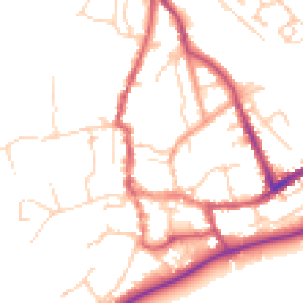
Daytime· 07:00 – 23:00
50.2dB

Night-time· 23:00 – 07:00
41.4dB