16 Anson Drive, Southampton, SO19 8RP
About 16 Anson Drive
16 Anson Drive is a three-bedroom mid-terrace house in Southampton (SO19 8RP). It has a recorded floor area of 78 m² (around 840 sq ft), construction records dating it to 1967-1975 and council tax band B. The latest certificate (November 2013) shows an E (score 53), well below the UK norm with real room to improve. Earlier certificates rated it D (October 2013); the latest reading is one band lower. Between certificates, wall efficiency dropped from Average to Poor. The recommended improvements would lift it to B (score 87), a 3-band jump. The latest certificate is from November 2013, so improvements made since then won't be reflected.
It lags the bulk of the postcode on energy efficiency (less efficient than 88% of similar EPCs). Across 2000–2017, sale prices on this property compounded at 6.1% per year. Today's modelled estimate of £266,000 is 23.7% above the 2017 sale price. On a £-per-square-foot basis, the last sale (£256/sq ft) was about 33.3% above the typical sold price in the postcode. 9 years since the last transfer (February 2017).
What this property has
Inside
- Bedrooms3
- Bathrooms1
- Dining roomYes
Outside
- Private gardenRear
- GarageEn bloc
Building
- RefurbishedYes
Everything you need to know about 16 Anson Drive
The true value, the hidden risks and the full sale history, in one report.
Pick your report · every report is £14.99
One time fee only - money back guarantee

The data behind every report


Energy performance
Recommended upgrades on file would lift this property by multiple EPC bands.
EPC Expired
This certificate is over 10 years old and is no longer valid.Expired 13 Nov 2023
EPC Rating
Get a survey for this property
Level 2 HomeBuyer Report
We've checked 10 risk factors against the available data for this property and believe a Level 2 HomeBuyer Report could be a suitable option for you.
From £545 · Includes VAT
Planning history
16 Anson Drive has no planning applications on record.
A planning report still maps activity across the surrounding area and reads this property's extension & conversion potential.
Sales history & valuation
Sale price has at least doubled since 2000.
£266,000
Modelled from EPC, postcode comparables and a sale-price growth of 6.1% per year over 17 years.
£215,000
Growth on file: 6.1% per year over 17 years.
Sales timeline
10 February 2017Most recent
£215,000
+168.9%over 16 years6 July 2000
£79,950
Median price across the last 5 sales in SO19 8RP: £250,000 (2025–2017).
Nearby sales in SO19 8RP
Versus other Anson Drive homes
EPC Rating for 16 Anson Drive lags the street by a wide margin.
Price per m²
£2,756
Street avg £2,461
Floor Area
78 m²
Street avg 80 m²
Habitable Rooms
5 rooms
Street avg 5 rooms
CO₂ Emissions
4.5 t/year
Street avg 2.9 t/year
Everything you need to know about 16 Anson Drive
The true value, the hidden risks and the full sale history, in one report.
Pick your report · every report is £14.99
One time fee only - money back guarantee
The data behind every report
Similar properties nearby
1 Gladstone Road
SO19 8GU
1 Church View Close
SO19 8SJ
1 Fair Green
SO19 8QW
1 Cleethorpes Road
SO19 8AS
1 Compass Close
SO19 8QA
1 Effingham Gardens
SO19 8GF
1 Coalville Road
SO19 8GQ
1 Botany Bay Road
SO19 8LT
The neighbourhood at a glance
Crime
12/mo
Steady year-on-year across the wider district.
Nearest stop
0.1 km
High Firs Road — bus stop.
Closest school
0.5 km
Thornhill Primary School. 30 schools nearby.
Go deeper on the local area
A Local Area report breaks down crime, transport links, schools and air quality in depth.
Road noise across the postcode
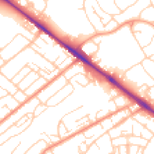
Daytime· 07:00 – 23:00
53.1dB

Night-time· 23:00 – 07:00
41.9dB