26 Brook Road, Southampton, SO18 6BA
About 26 Brook Road
26 Brook Road is a detached house in Southampton (SO18 6BA). It has a recorded floor area of 83 m² (around 893 sq ft), construction records dating it to 1900-1929 and council tax band C. The latest certificate (April 2023) shows an E (score 54), well below the UK norm with real room to improve. The recommended improvements would lift it to C (score 72), a 2-band jump.
Across 1996–2024, sale prices on this property compounded at 5.7% per year. Today's modelled estimate of £309,000 is 15.3% above the 2024 sale price. On a £-per-square-foot basis, the last sale (£300/sq ft) was about 42.8% above the typical sold price in the postcode. Most recent transfer: August 2024 at £268,000.
Everything you need to know about 26 Brook Road
The true value, the hidden risks and the full sale history, in one report.
30-day money-back guarantee

The data behind every report


Energy performance
Recommended upgrades on file would lift this property by multiple EPC bands.
EPC Rating
Planning history
26 Brook Road has no planning applications on record.
Notable planning nearby
1applications of note in the surrounding area
Sales history & valuation
26 Brook Road has more than quadrupled in price since its earliest registered sale in 1996.
£309,000
Modelled from EPC, postcode comparables and a sale-price growth of 5.7% per year over 28 years.
£268,000
Growth on file: 5.7% per year over 28 years.
Sales timeline
29 August 2024Most recent
£268,000
+13.2%over 9 months17 November 2023
£236,750
+146.6%over 22 years23 August 2001
£96,000
+69.9%over 5 years22 August 1996
£56,500
Median price across the last 5 sales in SO18 6BA: £315,000 (2025–2019).
Nearby sales in SO18 6BA
Versus other Brook Road homes
On years held, 26 Brook Road runs well behind the street norm.
Price per m²
£3,229
Street avg £2,959
Floor Area
83 m²
Street avg 84 m²
Habitable Rooms
4 rooms
Street avg 5 rooms
CO₂ Emissions
4.5 t/year
Street avg 4.1 t/year
Everything you need to know about 26 Brook Road
The true value, the hidden risks and the full sale history, in one report.
30-day money-back guarantee
The data behind every report
Similar properties nearby
1 Rutland Court, Balaclava Road
SO18 6RX
10 Almatade Road
SO18 6AB
1 Yew Road
SO18 6AW
10 Chichester Road
SO18 6BD
1 Mersham Gardens
SO18 6TF
1 Almatade Road
SO18 6AA
10 Mersham Gardens
SO18 6TF
10 Langstaff Way
SO18 6NP
The neighbourhood at a glance
Reported crime in the wider district is trending notably upward year-on-year.
Crime
6/mo
Rising year-on-year across the wider district.
Nearest stop
0.1 km
Dean Road — bus stop.
Closest school
0.5 km
Glenfield Infant School. 32 schools nearby.
Go deeper on the local area
The full report breaks down crime, transport links, schools and air quality in depth.
Road noise across the postcode
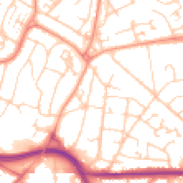
Daytime· 07:00 – 23:00
52.7dB

Night-time· 23:00 – 07:00
41.7dB