49 Glenfield Crescent, Southampton, SO18 4RG
About 49 Glenfield Crescent
49 Glenfield Crescent is a three-bedroom detached house in Southampton (SO18 4RG). It has a recorded floor area of 96 m² (around 1033 sq ft), construction records dating it to 1930-1949 and council tax band D. The latest certificate (February 2016) shows an E (score 50), well below the UK norm with real room to improve. The recommended improvements would lift it to C (score 76), a 2-band jump. The latest certificate is from February 2016, so improvements made since then won't be reflected.
It lags the bulk of the postcode on energy efficiency (less efficient than 86% of similar EPCs). Today's modelled estimate of £392,000 is 40% above the 2016 sale price. On a £-per-square-foot basis, the last sale (£271/sq ft) was about 71.9% above the typical sold price in the postcode. Last changed hands 10 years ago, in May 2016.
What this property has
Inside
- Bedrooms3
- Dining roomYes
Outside
- ParkingOff road
Everything you need to know about 49 Glenfield Crescent
The true value, the hidden risks and the full sale history, in one report.
30-day money-back guarantee

The data behind every report


Energy performance
Recommended upgrades on file would lift this property by multiple EPC bands.
EPC Expired
This certificate is over 10 years old and is no longer valid.Expired 16 Feb 2026
EPC Rating
Planning history
49 Glenfield Crescent has no planning applications on record.
The full report still covers planning activity across the surrounding area.
Sales history & valuation
49 Glenfield Crescent valuation sits well clear of the typical sold price in this postcode.
£392,000
Modelled from EPC, postcode comparables.
£280,000
Recorded with HM Land Registry.
Sales timeline
19 May 2016Most recent
£280,000
Median price across the last 5 sales in SO18 4RG: £400,000 (2025–2020).
Nearby sales in SO18 4RG
61 Glenfield Crescent, Southampton, SO18 4RG
Sold May 2025
£435,00045 Glenfield Crescent, Southampton, SO18 4RG
Sold Jan 2025
£635,00033 Glenfield Crescent, Southampton, SO18 4RG
Sold Jan 2024
£400,00025 Glenfield Crescent, Southampton, SO18 4RG
Sold Aug 2020
£390,00019 Glenfield Crescent, Southampton, SO18 4RG
Sold Jan 2020
£220,000
Versus other Glenfield Crescent homes
49 Glenfield Crescent is notably below the street on epc rating.
Price per m²
£2,917
Street avg £2,601
Floor Area
96 m²
Street avg 109 m²
Habitable Rooms
5 rooms
Street avg 5 rooms
CO₂ Emissions
5.6 t/year
Street avg 4.4 t/year
Everything you need to know about 49 Glenfield Crescent
The true value, the hidden risks and the full sale history, in one report.
30-day money-back guarantee
The data behind every report
Similar properties nearby
1 Cobden Crescent
SO18 4EX
1 Huntly Way
SO18 4EL
1 Glenfield Crescent
SO18 4RG
1 Fernwood Crescent
SO18 4FF
1 Trent Road
SO18 4PR
1 Beechwood Gardens
SO18 4JU
1 Rossington Avenue
SO18 4RT
1 Rosyth Road
SO18 4RP
The neighbourhood at a glance
Rail-style transport is unusually close for this postcode.
Crime
6/mo
Rising year-on-year across the wider district.
Nearest stop
0.1 km
Huntly Way — bus stop.
Closest school
0.1 km
Glenfield Infant School. 35 schools nearby.
Go deeper on the local area
The full report breaks down crime, transport links, schools and air quality in depth.
Road noise across the postcode
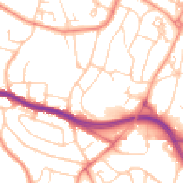
Daytime· 07:00 – 23:00
52.6dB

Night-time· 23:00 – 07:00
42.0dB