5 Maple Road, Southampton, SO18 4EF
About 5 Maple Road
5 Maple Road is a four-bedroom semi-detached house in Southampton (SO18 4EF). It has a recorded floor area of 111 m² (around 1195 sq ft), construction records dating it to 1950-1966 and council tax band C. The latest certificate (July 2022) shows a D (score 64), on the cusp of jumping into the C band. The rating has held steady at D across 3 certificates since June 2014. Between certificates, wall efficiency dropped from Good to Poor and roof efficiency dropped from Average to Poor. The recommended improvements would lift it to B (score 81), a 2-band jump.
Today's modelled estimate of £364,000 sits 70.9% above the 2014 sale of £213,000. 12 years since the last transfer (November 2014).
What this property has
Inside
- Bedrooms4
- Bathrooms2
Outside
- Private gardenRear
Everything you need to know about 5 Maple Road
The true value, the hidden risks and the full sale history, in one report.
30-day money-back guarantee

The data behind every report


Energy performance
Recommended upgrades on file would lift this property by multiple EPC bands.
EPC Rating
Property Improvements
Changes detected from historical EPC data
Heating controls upgraded for better temperature management
Low energy lighting percentage decreased
Solar PV panels (40 kWp) installed
Planning history
5 Maple Road has no planning applications on record.
The full report still covers planning activity across the surrounding area.
Sales history & valuation
5 Maple Road valuation sits well clear of the typical sold price in this postcode.
£364,000
Modelled from EPC, postcode comparables.
£213,000
Recorded with HM Land Registry.
Sales timeline
21 November 2014Most recent
£213,000
Median price across the last 5 sales in SO18 4EF: £300,000 (2025–2018).
Nearby sales in SO18 4EF
15 Maple Road, Southampton, SO18 4EF
Sold Aug 2025
£335,0003 Maple Road, Southampton, SO18 4EF
Sold Sept 2024
£342,000Flat 1, 25 Maple Road, Southampton, SO18 4EF
Sold Feb 2024
£158,000Flat 2, 25 Maple Road, Southampton, SO18 4EF
Sold Mar 2023
£203,00027 Maple Road, Southampton, SO18 4EF
Sold Mar 2018
£300,000
Versus other Maple Road homes
5 Maple Road is notably below the street on price per m².
Price per m²
£1,919
Street avg £2,779
Floor Area
111 m²
Street avg 96 m²
Habitable Rooms
5 rooms
Street avg 5 rooms
CO₂ Emissions
4.4 t/year
Street avg 4.0 t/year
Everything you need to know about 5 Maple Road
The true value, the hidden risks and the full sale history, in one report.
30-day money-back guarantee
The data behind every report
Similar properties nearby
1 Midanbury Lane
SO18 4HY
1 Cobden Crescent
SO18 4EX
1 Huntly Way
SO18 4EL
1 Glenfield Crescent
SO18 4RG
1 Fernwood Crescent
SO18 4FF
1 Trent Road
SO18 4PR
1 Beechwood Gardens
SO18 4JU
1 Rossington Avenue
SO18 4RT
The neighbourhood at a glance
Rail-style transport is unusually close for this postcode.
Crime
6/mo
Rising year-on-year across the wider district.
Nearest stop
0.1 km
Midanbury Lane — bus stop.
Closest school
0.2 km
Beechwood Junior School. 37 schools nearby.
Go deeper on the local area
The full report breaks down crime, transport links, schools and air quality in depth.
Road noise across the postcode
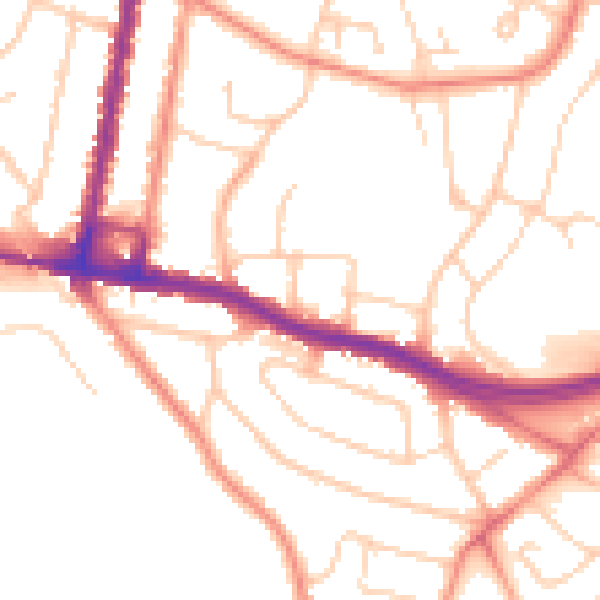
Daytime· 07:00 – 23:00
51.5dB

Night-time· 23:00 – 07:00
41.7dB