Flat 1, 25 Maple Road, Southampton, SO18 4EF
About Flat 1
Flat 1 is a semi-detached house in Southampton (SO18 4EF). It has a recorded floor area of 49 m² (around 527 sq ft), construction records dating it to 1967-1975 and council tax band A. The latest certificate (February 2022) shows an E (score 45), well below the UK norm with real room to improve. When first surveyed in March 2019 the rating was F, the property has climbed 1 band since. Between certificates, wall efficiency went from Poor to Average and lighting went from Very Poor to Very Good; while roof efficiency dropped from Average to Very Poor and hot-water efficiency dropped from Average to Poor. The recommended improvements would lift it to C (score 80), a 2-band jump. Main heating runs on electricity.
At 49 m² it sits well below the postcode median (105 m² across 8 EPCs), making it one of the more compact homes locally. It lags the bulk of the postcode on energy efficiency (less efficient than 75% of similar EPCs). Today's modelled estimate of £191,000 is 20.9% above the 2024 sale price. On a £-per-square-foot basis, the last sale (£300/sq ft) was about 81.6% above the typical sold price in the postcode. Last sale on file: £158,000 in February 2024.
Everything you need to know about Flat 1
The true value, the hidden risks and the full sale history, in one report.
30-day money-back guarantee

The data behind every report


Energy performance
Recommended upgrades on file would lift this property by multiple EPC bands.
EPC Rating
Property Improvements
Changes detected from historical EPC data
Hot water efficiency decreased
Cavity wall insulation installed
More low energy lighting installed
Planning history
Flat 1 has no planning applications on record.
The full report still covers planning activity across the surrounding area.
Sales history & valuation
£191,000
Modelled from EPC, postcode comparables.
£158,000
Recorded with HM Land Registry.
Sales timeline
14 February 2024Most recent
£158,000
Median price across the last 5 sales in SO18 4EF: £300,000 (2025–2018).
Nearby sales in SO18 4EF
Versus other Maple Road homes
On floor area, Flat 1 runs well behind the street norm.
Price per m²
£3,224
Street avg £2,593
Floor Area
49 m²
Street avg 104 m²
Habitable Rooms
3 rooms
Street avg 5 rooms
CO₂ Emissions
5.3 t/year
Street avg 3.9 t/year
Everything you need to know about Flat 1
The true value, the hidden risks and the full sale history, in one report.
30-day money-back guarantee
The data behind every report
Similar properties nearby
Ashurst Mews, Flat 15, 30 Midanbury Lane
SO18 4GP
Ashurst Mews, Flat 14, 30 Midanbury Lane
SO18 4GP
Ashurst Mews, Flat 23, 30 Midanbury Lane
SO18 4GP
Ashurst Mews, Flat 1, 30 Midanbury Lane
SO18 4GP
Ashurst Mews, Flat 16, 30 Midanbury Lane
SO18 4GP
Ashurst Mews, Flat 22, 30 Midanbury Lane
SO18 4GP
Ashurst Mews, Flat 18, 30 Midanbury Lane
SO18 4GP
Ashurst Mews, Flat 20, 30 Midanbury Lane
SO18 4GP
The neighbourhood at a glance
Rail-style transport is unusually close for this postcode.
Crime
6/mo
Rising year-on-year across the wider district.
Nearest stop
0.1 km
Midanbury Lane — bus stop.
Closest school
0.2 km
Beechwood Junior School. 37 schools nearby.
Go deeper on the local area
The full report breaks down crime, transport links, schools and air quality in depth.
Road noise across the postcode
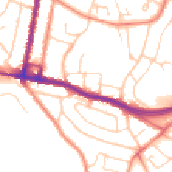
Daytime· 07:00 – 23:00
51.5dB

Night-time· 23:00 – 07:00
41.7dB