10 Townsend Road, Shrivenham, Swindon, SN6 8AS
About 10 Townsend Road
10 Townsend Road is a one-bedroom property in Shrivenham, Swindon, Swindon (SN6 8AS). It has council tax band D.
Untraded for 20 years, with the last transfer in April 2006. 3 planning records sit against the property, 0 approved, 0 refused. 1 bedrooms is on the smaller side for this postcode, where 3 is the typical count.
What this property has
Inside
- Bedrooms1
Everything you need to know about 10 Townsend Road
The true value, the hidden risks and the full sale history, in one report.
Pick your report · every report is £14.99
One time fee only - money back guarantee

The data behind every report


Energy performance
No EPC on record
This property doesn't have an Energy Performance Certificate yet. An EPC is required to sell or let — and unlocks our automated valuation.
Get a survey for this property
Level 2 HomeBuyer Report
We've checked 10 risk factors against the available data for this property and believe a Level 2 HomeBuyer Report could be a suitable option for you.
Planning history
3 applications on record at 10 Townsend Road, Shrivenham, Swindon, SN6 8AS
- Oct 2007OutbuildingOutcome in report
Proposed single storey bicycle store
- Documents
- 7 docs on file
- Reference
- P07/V1069
- More recent applications — locked
- ApplicationSept 2008Decision
- OutbuildingDec 2007Decision
Unlock 10 Townsend Road, Shrivenham, Swindon, SN6 8AS's full planning history
You're seeing the shape of it. The report has the substance.
- Every decision — granted, refused or withdrawn (3 on record)
- All 3 applications on this property in full, plus 3 notable nearby
- The 30 documents, officer reports & conditions
- What the pattern means for extending or converting here
One time fee only - money back guarantee
Sales history & valuation
£187,500
Recorded with HM Land Registry.
Sales timeline
25 April 2006Most recent
£187,500
Median price across the last 5 sales in SN6 8AS: £375,000 (2023–2017).
Nearby sales in SN6 8AS
8 Townsend Road, Shrivenham, Swindon, SN6 8AS
Sold Mar 2023
£485,00022 Townsend Road, Shrivenham, Swindon, SN6 8AS
Sold Jul 2018
£477,500Ashridge, Townsend Road, Shrivenham, Swindon, SN6 8AS
Sold Sept 2017
£340,0006 Townsend Road, Shrivenham, Swindon, SN6 8AS
Sold Jun 2017
£370,00020 Townsend Road, Shrivenham, Swindon, SN6 8AS
Sold Nov 2015
£485,000
Everything you need to know about 10 Townsend Road
The true value, the hidden risks and the full sale history, in one report.
Pick your report · every report is £14.99
One time fee only - money back guarantee
The data behind every report
Similar properties nearby
1 Alexander Way, Shrivenham
SN6 8FD
1 Charlesby Drive, Watchfield
SN6 8RT
1 Chapelwick Close, Shrivenham
SN6 8EF
1 Church Row, Bourton
SN6 8JG
1 Catherine Close, Shrivenham
SN6 8ER
1 Chestnut Gardens, Shrivenham
SN6 8DE
1 Bower Green, Shrivenham
SN6 8TU
1 Buckland Drive, Shrivenham
SN6 8FR
The neighbourhood at a glance
Daytime road noise here sits well below conversation level — a quiet pocket of the postcode.
Crime
2/mo
Steady year-on-year across the wider district.
Nearest stop
0.1 km
The Green — bus stop.
Closest school
0.5 km
Shrivenham Church of England School. 2 schools nearby.
Go deeper on the local area
A Local Area report breaks down crime, transport links, schools and air quality in depth.
Road noise across the postcode
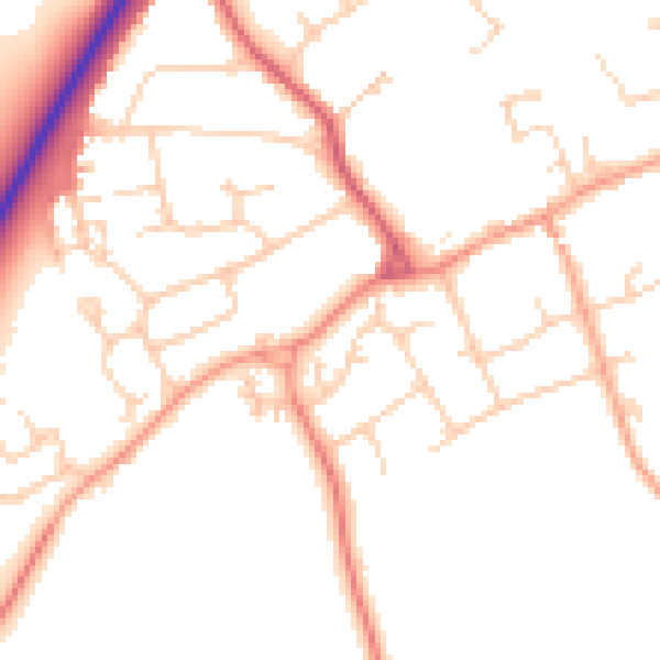
Daytime· 07:00 – 23:00
49.9dB

Night-time· 23:00 – 07:00
41.1dB