23 Crane Furlong, Highworth, Swindon, SN6 7JX
About 23 Crane Furlong
23 Crane Furlong is a four-bedroom property in Highworth, Swindon, Swindon (SN6 7JX). It has council tax band C.
Untraded for 20 years, with the last transfer in July 2006. Across 2001–2006, sale prices on this property compounded at 10.3% per year. One historical planning record sits against the property in 2011.
What this property has
Inside
- Bedrooms4
Everything you need to know about 23 Crane Furlong
The true value, the hidden risks and the full sale history, in one report.
Pick your report · every report is £14.99
One time fee only - money back guarantee

The data behind every report


Energy performance
No EPC on record
This property doesn't have an Energy Performance Certificate yet. An EPC is required to sell or let — and unlocks our automated valuation.
Get a survey for this property
Level 2 HomeBuyer Report
We've checked 10 risk factors against the available data for this property and believe a Level 2 HomeBuyer Report could be a suitable option for you.
Planning history
1 application on record at 23 Crane Furlong, Highworth, Swindon, SN6 7JX
- Jun 2011RenovationFullOutcome in report
Construction of a dropped kerb to allow additional vehicular access to drive.
- Documents
- 7 docs on file
- Reference
- S/11/0456
Unlock 23 Crane Furlong, Highworth, Swindon, SN6 7JX's full planning history
You're seeing the shape of it. The report has the substance.
- Every decision — granted, refused or withdrawn (1 on record)
- All 1 application on this property in full, plus 12 notable nearby
- The 7 documents, officer reports & conditions
- What the pattern means for extending or converting here
One time fee only - money back guarantee
Sales history & valuation
£177,500
Growth on file: 10.3% per year over 6 years.
Sales timeline
23 July 2006Most recent
£177,500
+72.3%over 5 years3 January 2001
£103,000
Median price across the last 5 sales in SN6 7JX: £289,950 (2025–2021).
Nearby sales in SN6 7JX
11 Crane Furlong, Highworth, Swindon, SN6 7JX
Sold Feb 2025
£322,50012 Crane Furlong, Highworth, Swindon, SN6 7JX
Sold Jan 2023
£270,00015 Crane Furlong, Highworth, Swindon, SN6 7JX
Sold Oct 2021
£320,0007 Crane Furlong, Highworth, Swindon, SN6 7JX
Sold Sept 2021
£250,00025 Crane Furlong, Highworth, Swindon, SN6 7JX
Sold Jul 2021
£289,950
Everything you need to know about 23 Crane Furlong
The true value, the hidden risks and the full sale history, in one report.
Pick your report · every report is £14.99
One time fee only - money back guarantee
The data behind every report
Similar properties nearby
1 Coffin Close, Highworth
SN6 7HA
1 Bute Close, Highworth
SN6 7HN
1 Crane Furlong, Highworth
SN6 7JX
1 Barra Close, Highworth
SN6 7HX
1 Folly Drive, Highworth
SN6 7JR
1 Bydemill Gardens, Highworth
SN6 7BS
1 Edencroft, Highworth
SN6 7NJ
1 Beech Grove, Highworth
SN6 7BN
The neighbourhood at a glance
Daytime road noise here sits well below conversation level — a quiet pocket of the postcode.
Crime
2/mo
Steady year-on-year across the wider district.
Nearest stop
0.1 km
Haresfield Roundabout — bus stop.
Closest school
0.6 km
Westrop Primary & Nursery School. 4 schools nearby.
Go deeper on the local area
A Local Area report breaks down crime, transport links, schools and air quality in depth.
Road noise across the postcode
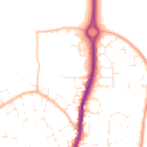
Daytime· 07:00 – 23:00
49.1dB

Night-time· 23:00 – 07:00
39.2dB