6 Folly Drive, Highworth, Swindon, SN6 7JR
About 6 Folly Drive
6 Folly Drive is a property in Highworth, Swindon, Swindon (SN6 7JR). It has council tax band C.
Held since March 1997 — that's 29 years off the open market, well above the local norm. Only one transfer is on record with HM Land Registry, suggesting it has stayed in the same hands for a long time.
Everything you need to know about 6 Folly Drive
The true value, the hidden risks and the full sale history, in one report.
Pick your report · every report is £14.99
One time fee only - money back guarantee

The data behind every report


Energy performance
No EPC on record
This property doesn't have an Energy Performance Certificate yet. An EPC is required to sell or let — and unlocks our automated valuation.
Get a survey for this property
Level 2 HomeBuyer Report
We've checked 10 risk factors against the available data for this property and believe a Level 2 HomeBuyer Report could be a suitable option for you.
Planning history
6 Folly Drive has no planning applications on record.
But the area is active
12 notable applications nearby — larger schemes and conversions that could reshape the street. The report maps them all.
Sales history & valuation
Latest sale on 6 Folly Drive was the lowest on Land Registry record across the postcode.
£41,000
Recorded with HM Land Registry.
Sales timeline
7 March 1997Most recent
£41,000
Median price across the last 5 sales in SN6 7JR: £250,000 (2025–2015).
Nearby sales in SN6 7JR
21 Folly Drive, Highworth, Swindon, SN6 7JR
Sold May 2025
£257,0002 Folly Drive, Highworth, Swindon, SN6 7JR
Sold Aug 2023
£250,0005 Folly Drive, Highworth, Swindon, SN6 7JR
Sold Apr 2019
£195,0003 Folly Drive, Highworth, Swindon, SN6 7JR
Sold Oct 2015
£225,00010 Folly Drive, Highworth, Swindon, SN6 7JR
Sold Aug 2015
£245,000
Everything you need to know about 6 Folly Drive
The true value, the hidden risks and the full sale history, in one report.
Pick your report · every report is £14.99
One time fee only - money back guarantee
The data behind every report
Similar properties nearby
1 Arran Way, Highworth
SN6 7HW
1 Barra Close, Highworth
SN6 7HX
1 Beech Grove, Highworth
SN6 7BN
1 Biddel Springs, Highworth
SN6 7BH
1 Blandford Mews, Blandford Alley, Highworth
SN6 7BQ
1 Botany, Highworth
SN6 7BT
1 Brookfield, Highworth
SN6 7HY
1 Bute Close, Highworth
SN6 7HN
The neighbourhood at a glance
Daytime road noise here sits well below conversation level — a quiet pocket of the postcode.
Crime
2/mo
Steady year-on-year across the wider district.
Nearest stop
0.1 km
Folly Crescent — bus stop.
Closest school
0.4 km
Westrop Primary & Nursery School. 4 schools nearby.
Go deeper on the local area
A Local Area report breaks down crime, transport links, schools and air quality in depth.
Road noise across the postcode
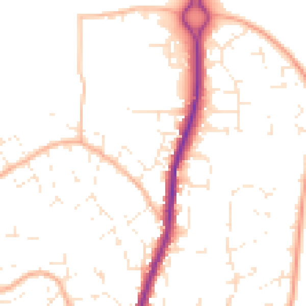
Daytime· 07:00 – 23:00
49.7dB

Night-time· 23:00 – 07:00
39.1dB