1 Barrow Close, Royal Wootton Bassett, Swindon, SN4 8FE
About 1 Barrow Close
1 Barrow Close is a semi-detached house in Royal Wootton Bassett, Swindon, Swindon (SN4 8FE). It has a recorded floor area of 97 m² (around 1044 sq ft) and council tax band C. The latest certificate (May 2013) returns a B (score 82), comfortably above the UK average. The latest certificate is from May 2013, so improvements made since then won't be reflected.
At 97 m² it's 18.3% larger than the typical home in the postcode (82 m² median across 17 EPCs). Its energy rating outperforms most of the postcode (better than 76% of similar EPCs).
Everything you need to know about 1 Barrow Close
The true value, the hidden risks and the full sale history, in one report.
Pick your report · every report is £14.99
One time fee only - money back guarantee

The data behind every report


Energy performance
1 Barrow Close's EPC is over a decade old — improvements since won't be reflected.
EPC Expired
This certificate is over 10 years old and is no longer valid.Expired 28 May 2023
EPC Rating
Get a survey for this property
Level 2 HomeBuyer Report
We've checked 10 risk factors against the available data for this property and believe a Level 2 HomeBuyer Report could be a suitable option for you.
From £545 · Includes VAT
Planning history
1 Barrow Close has no planning applications on record.
But the area is active
1 notable application nearby — larger schemes and conversions that could reshape the street. The report maps them all.
Sales history & valuation
1 Barrow Close has no Land Registry sales on file, suggesting it has stayed in the same hands since registration began.
£255,000
Modelled from EPC, postcode comparables.
No sales recorded with HM Land Registry
That can mean the property has never traded since the registry began publishing in 1995, was a new build that hasn't been registered yet, or is held in the same hands long-term.
Median price across the last 5 sales in SN4 8FE: £187,500 (2020–2013).
Nearby sales in SN4 8FE
3 Barrow Close, Royal Wootton Bassett, Swindon, SN4 8FE
Sold Mar 2020
£187,5004 Barrow Close, Royal Wootton Bassett, Swindon, SN4 8FE
Sold Oct 2019
£175,00011 Barrow Close, Royal Wootton Bassett, Swindon, SN4 8FE
Sold Aug 2013
£260,00010 Barrow Close, Royal Wootton Bassett, Swindon, SN4 8FE
Sold Aug 2013
£280,0009 Barrow Close, Royal Wootton Bassett, Swindon, SN4 8FE
Sold Feb 2013
£210,000
Versus other Barrow Close homes
1 Barrow Close outperforms the street on epc rating by a wide margin.
EPC Rating
82 (B)
Street avg 79 (C)
Floor Area
97 m²
Street avg 89 m²
CO₂ Emissions
1.6 t/year
Street avg 1.9 t/year
Everything you need to know about 1 Barrow Close
The true value, the hidden risks and the full sale history, in one report.
Pick your report · every report is £14.99
One time fee only - money back guarantee
The data behind every report
Similar properties nearby
1 Bradene Close, Royal Wootton Bassett
SN4 8DG
1 Brooke Place, Royal Wootton Bassett
SN4 8HW
1 Coleridge Close, Royal Wootton Bassett
SN4 8LD
1 Dryden Place, Royal Wootton Bassett
SN4 8JP
1 Arran Close, Royal Wootton Bassett
SN4 8LZ
1 Crosstrees, Royal Wootton Bassett
SN4 8FB
1 Downs View, Royal Wootton Bassett
SN4 8AD
1 Buxton Way, Royal Wootton Bassett
SN4 8JB
The neighbourhood at a glance
Daytime road noise here sits well below conversation level — a quiet pocket of the postcode.
Crime
2/mo
Steady year-on-year across the wider district.
Nearest stop
0.2 km
The Steadings — bus stop.
Closest school
0.5 km
Noremarsh Junior School. 5 schools nearby.
Go deeper on the local area
A Local Area report breaks down crime, transport links, schools and air quality in depth.
Road noise across the postcode
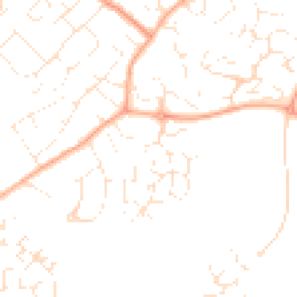
Daytime· 07:00 – 23:00
47.3dB

Night-time· 23:00 – 07:00
36.9dB