14a, Burford Road, Sutton, SM1 2NJ
About 14a
14a is an end-of-terrace house in Sutton (SM1 2NJ). It has a recorded floor area of 60 m² (around 646 sq ft), construction records dating it to 1900-1929 and council tax band D. The latest certificate (July 2025) shows a D (score 63), on the cusp of jumping into the C band. The recommended improvements would push it to C (score 77).
It hasn't traded since April 2002, a hold of 24 years that's notably long for the area. Across 1997–2002, sale prices on this property compounded at 9.7% per year. Today's modelled estimate of £419,000 sits 189.1% above the 2002 sale of £144,950. On a £-per-square-foot basis, the last sale (£224/sq ft) was about 46.2% below the postcode norm. At 60 m² it's 27.7% smaller than the typical home in the postcode (83 m² median across 9 EPCs).
Everything you need to know about 14a
The true value, the hidden risks and the full sale history, in one report.
30-day money-back guarantee

The data behind every report


Energy performance
EPC Rating
Planning history
14a has no planning applications on record.
Notable planning nearby
12applications of note in the surrounding area
We flagged 2 things worth checking at 14a
Independent checks surfaced things a buyer would want to understand before offering. The report explains each one in full, with the underlying data and what to ask.
- Signs of HMO activity in the area
- Larger development activity nearby
30-day money-back guarantee
Sales history & valuation
14a's modelled value sits at over four times its earliest registered sale price (1997).
£419,000
Modelled from EPC, postcode comparables and a sale-price growth of 9.7% per year over 5 years.
£144,950
Growth on file: 9.7% per year over 5 years.
Sales timeline
18 April 2002Most recent
£144,950
+52.6%over 4 years24 April 1997
£95,000
+5.6%17 February 1997
£90,000
Median price across the last 5 sales in SM1 2NJ: £425,000 (2024–2018).
Versus other Burford Road homes
14a outperforms the street on years held by a wide margin.
Price per m²
£2,416
Street avg £4,917
Floor Area
60 m²
Street avg 89 m²
Habitable Rooms
3 rooms
Street avg 5 rooms
CO₂ Emissions
2.7 t/year
Street avg 4.2 t/year
Everything you need to know about 14a
The true value, the hidden risks and the full sale history, in one report.
30-day money-back guarantee
The data behind every report
Similar properties nearby
The neighbourhood at a glance
Rail-style transport is unusually close for this postcode.
Crime
9/mo
Rising year-on-year across the wider district.
Nearest stop
0.1 km
Stayton Road — bus stop.
Closest school
0.3 km
Westbourne Primary School. 45 schools nearby.
Go deeper on the local area
The full report breaks down crime, transport links, schools and air quality in depth.
Road noise across the postcode
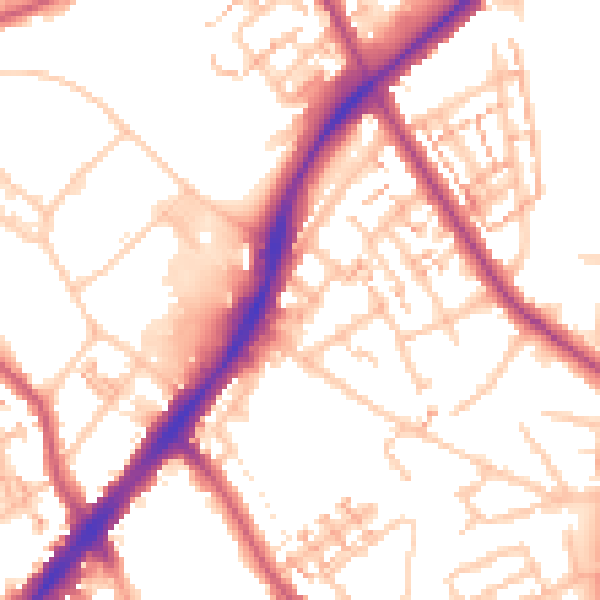
Daytime· 07:00 – 23:00
54.1dB

Night-time· 23:00 – 07:00
44.1dB