15 Elizabeth Close, Cheam, Sutton, SM1 2JW
About 15 Elizabeth Close
15 Elizabeth Close is a two-bedroom property in Cheam, Sutton, Sutton (SM1 2JW). It has council tax band D. The home occupies a cul-de-sac position.
Untraded for 21 years, with the last transfer in September 2005. Across 1998–2005, sale prices on this property compounded at 10.3% per year.
What this property has
Inside
- Bedrooms2
- Dining roomYes
- CloakroomYes
Outside
- Cul-de-sacYes
Building
- RefurbishedYes
Everything you need to know about 15 Elizabeth Close
The true value, the hidden risks and the full sale history, in one report.
30-day money-back guarantee

The data behind every report


Energy performance
No EPC on record
This property doesn't have an Energy Performance Certificate yet. An EPC is required to sell or let — and unlocks our automated valuation.
Planning history
15 Elizabeth Close has no planning applications on record.
Notable planning nearby
12applications of note in the surrounding area
We flagged 2 things worth checking at 15 Elizabeth Close
Independent checks surfaced things a buyer would want to understand before offering. The report explains each one in full, with the underlying data and what to ask.
- Signs of HMO activity in the area
- Larger development activity nearby
30-day money-back guarantee
Sales history & valuation
Sale price has at least doubled since 1998.
£194,000
Growth on file: 10.3% per year over 7 years.
Sales timeline
8 September 2005Most recent
£194,000
+28.5%over 4 years5 September 2001
£151,000
+57.4%over 3 years2 July 1998
£95,950
Median price across the last 5 sales in SM1 2JW: £480,000 (2025–2021).
Nearby sales in SM1 2JW
20 Elizabeth Close, Cheam, Sutton, SM1 2JW
Sold Sept 2025
£471,50019 Elizabeth Close, Cheam, Sutton, SM1 2JW
Sold Jun 2025
£480,0001 Elizabeth Close, Cheam, Sutton, SM1 2JW
Sold Jul 2024
£518,0004 Elizabeth Close, Cheam, Sutton, SM1 2JW
Sold Dec 2022
£495,0005 Elizabeth Close, Cheam, Sutton, SM1 2JW
Sold Feb 2021
£360,000
Everything you need to know about 15 Elizabeth Close
The true value, the hidden risks and the full sale history, in one report.
30-day money-back guarantee
The data behind every report
Similar properties nearby
1 Cormorant Place, Cheam
SM1 2XD
1 Chaucer Road
SM1 2QP
1 Chester Close
SM1 2PP
1 Bourne Way, Cheam
SM1 2EN
1 Ashton Close
SM1 2HJ
1 Elmbrook Road, Cheam
SM1 2JF
1 Alma Crescent, Cheam
SM1 2LN
1 Dibdin Close
SM1 2PJ
The neighbourhood at a glance
Rail-style transport is unusually close for this postcode.
Crime
9/mo
Rising year-on-year across the wider district.
Nearest stop
0.4 km
Windsor Avenue — bus stop.
Closest school
0.6 km
Westbourne Primary School. 42 schools nearby.
Go deeper on the local area
The full report breaks down crime, transport links, schools and air quality in depth.
Road noise across the postcode
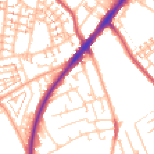
Daytime· 07:00 – 23:00
53.2dB

Night-time· 23:00 – 07:00
42.6dB