Flat 5, 14 Greenford Road, Sutton, SM1 1JY
About Flat 5
Flat 5 is a mid-terrace house in Sutton (SM1 1JY). It has a recorded floor area of 20 m² (around 215 sq ft), construction records dating it to 1900-1929 and council tax band A. The latest certificate (January 2022) shows a D (score 58), a step below the typical UK home. The rating has held steady at D across 2 certificates since June 2011. Between certificates, lighting went from Good to Very Good. At 20 m² this is the 4th smallest of 5 units on EPC record in the building, where floor areas span 16–70 m².
It hasn't traded since December 2000, a hold of 26 years that's notably long for the area. Only one transfer is on record with HM Land Registry, suggesting it has stayed in the same hands for a long time. Today's modelled estimate of £232,000 sits 78.5% above the 2000 sale of £129,950. On a £-per-square-foot basis, the last sale (£604/sq ft) was about 118.3% above the typical sold price in the postcode. At 20 m² it sits well below the postcode median (68 m² across 33 EPCs), making it one of the more compact homes locally.
Everything you need to know about Flat 5
The true value, the hidden risks and the full sale history, in one report.
30-day money-back guarantee

The data behind every report


Energy performance
EPC Rating
Property Improvements
Changes detected from historical EPC data
More low energy lighting installed
Planning history
Flat 5 has no planning applications on record.
Notable planning nearby
19applications of note in the surrounding area
We flagged 2 things worth checking at Flat 5
Independent checks surfaced things a buyer would want to understand before offering. The report explains each one in full, with the underlying data and what to ask.
- Signs of HMO activity in the area
- Larger development activity nearby
30-day money-back guarantee
Sales history & valuation
£232,000
Modelled from EPC, postcode comparables.
£129,950
Recorded with HM Land Registry.
Sales timeline
1 December 2000Most recent
£129,950
Median price across the last 5 sales in SM1 1JY: £630,000 (2025–2023).
Nearby sales in SM1 1JY
Versus other Greenford Road homes
Flat 5 outperforms the street on years held by a wide margin.
Price per m²
£6,498
Street avg £5,225
Floor Area
20 m²
Street avg 58 m²
Habitable Rooms
1 rooms
Street avg 2 rooms
CO₂ Emissions
2.0 t/year
Street avg 2.0 t/year
Everything you need to know about Flat 5
The true value, the hidden risks and the full sale history, in one report.
30-day money-back guarantee
The data behind every report
Similar properties nearby
200 202, Flat 1, High Street
SM1 1NR
200 202, Flat 3, High Street
SM1 1NR
209a, Flat 1, High Street
SM1 1JU
198a, Apartment 4, High Street
SM1 1NY
200 202, Flat 4, High Street
SM1 1NR
210a, Flat 4, High Street
SM1 1NU
160a, Flat 1, High Street
SM1 1LX
200 202, Flat 7, High Street
SM1 1NR
The neighbourhood at a glance
Rail-style transport is unusually close for this postcode.
Crime
9/mo
Rising year-on-year across the wider district.
Nearest stop
0.0 km
St. Nicholas Centre — bus stop.
Closest school
0.0 km
Robin Hood Junior School. 43 schools nearby.
Go deeper on the local area
The full report breaks down crime, transport links, schools and air quality in depth.
Road noise across the postcode
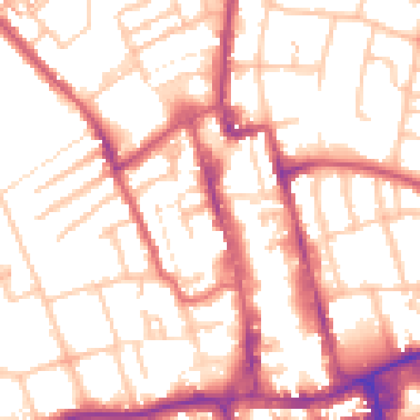
Daytime· 07:00 – 23:00
54.0dB

Night-time· 23:00 – 07:00
43.6dB