2a, Flat 5, Greenford Road, Sutton, SM1 1JY
About 2a
2a is a detached house in Sutton (SM1 1JY). It has a recorded floor area of 66 m² (around 710 sq ft). The latest certificate (March 2021) shows a D (score 67), on the cusp of jumping into the C band. Earlier certificates rated it B (February 2020); the latest reading is 2 bands lower. Between certificates, hot-water efficiency dropped from Very Good to Very Poor and main heating dropped from Good to Very Poor. Main heating runs on electricity: electricity, unspecified tariff.
Untraded for 15 years, with the last transfer in January 2011. Across 1999–2011, sale prices on this property compounded at 7.5% per year. Today's modelled estimate of £274,000 sits 101.5% above the 2011 sale of £136,000. On a £-per-square-foot basis, the last sale (£191/sq ft) was about 42.4% below the postcode norm.
Everything you need to know about 2a
The true value, the hidden risks and the full sale history, in one report.
30-day money-back guarantee

The data behind every report


Energy performance
EPC Rating
Property Improvements
Changes detected from historical EPC data
Changed to a more efficient fuel source
Hot water efficiency decreased
Hot water system changed
Planning history
2a has no planning applications on record.
Notable planning nearby
19applications of note in the surrounding area
We flagged 2 things worth checking at 2a
Independent checks surfaced things a buyer would want to understand before offering. The report explains each one in full, with the underlying data and what to ask.
- Signs of HMO activity in the area
- Larger development activity nearby
30-day money-back guarantee
Sales history & valuation
2a has more than doubled in price since the earliest registered sale in 1999.
£274,000
Modelled from EPC, postcode comparables and a sale-price growth of 7.5% per year over 11 years.
£136,000
Growth on file: 7.5% per year over 11 years.
Sales timeline
21 January 2011Most recent
£136,000
16 April 2003
£135,500
+125.8%over 3 years7 October 1999
£60,000
Median price across the last 5 sales in SM1 1JY: £630,000 (2025–2023).
Nearby sales in SM1 1JY
Versus other Greenford Road homes
Price per m² for 2a lags the street by a wide margin.
Price per m²
£2,061
Street avg £5,859
Floor Area
66 m²
Street avg 57 m²
CO₂ Emissions
1.7 t/year
Street avg 2.0 t/year
Years Held
15 years
Street avg 12 years
Everything you need to know about 2a
The true value, the hidden risks and the full sale history, in one report.
30-day money-back guarantee
The data behind every report
Similar properties nearby
210a, Flat 3, High Street
SM1 1NU
198a, Apartment 7, High Street
SM1 1NY
160a, Flat 2, High Street
SM1 1LX
198a, Apartment 3, High Street
SM1 1NY
198a, Apartment 5, High Street
SM1 1NY
198a, Apartment 6, High Street
SM1 1NY
182a, Flat 2, High Street
SM1 1NL
182a, Flat 1, High Street
SM1 1NL
The neighbourhood at a glance
Rail-style transport is unusually close for this postcode.
Crime
9/mo
Rising year-on-year across the wider district.
Nearest stop
0.0 km
St. Nicholas Centre — bus stop.
Closest school
0.0 km
Robin Hood Junior School. 43 schools nearby.
Go deeper on the local area
The full report breaks down crime, transport links, schools and air quality in depth.
Road noise across the postcode
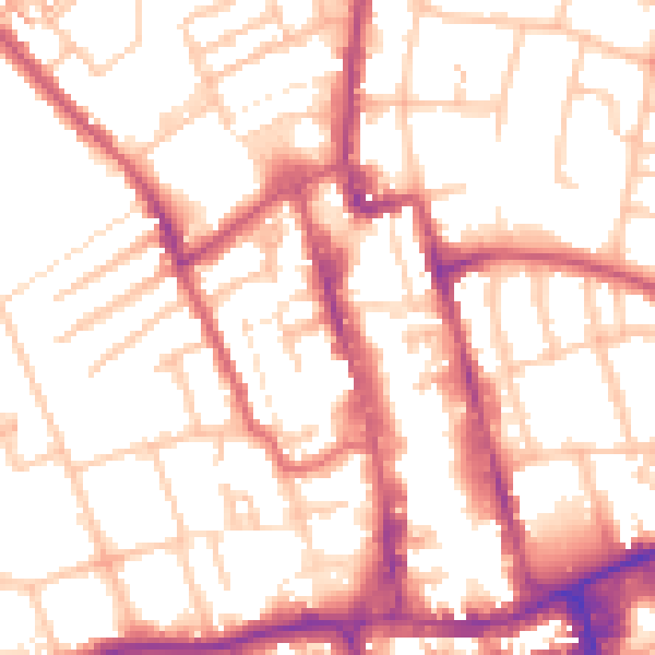
Daytime· 07:00 – 23:00
54.0dB

Night-time· 23:00 – 07:00
43.6dB