Flat 4, 5 Arthur Close, Cookham, Maidenhead, SL6 9FE
About Flat 4
Flat 4 is a semi-detached house in Cookham, Maidenhead, Maidenhead (SL6 9FE). It has a recorded floor area of 52 m² (around 560 sq ft), construction records dating it to 2007-2011 and council tax band C. At 52 m² this is the largest unit on EPC record across the building (51–52 m²). On EPC score it ranks first in the building (80 versus a worst of 79). The latest certificate (January 2025) shows a C (score 80), near the top of the C band. Earlier certificates rated it B (March 2009); the latest reading is one band lower.
Everything you need to know about Flat 4
The true value, the hidden risks and the full sale history, in one report.
30-day money-back guarantee

The data behind every report


Energy performance
Flat 4's carbon output is low for the local stock.
EPC Rating
Property Improvements
Changes detected from historical EPC data
More low energy lighting installed
Planning history
Flat 4 has no planning applications on record.
The full report still covers planning activity across the surrounding area.
Sales history & valuation
Flat 4 has no Land Registry sales on file, suggesting it has stayed in the same hands since registration began.
£270,000
Modelled from EPC, postcode comparables.
No sales recorded with HM Land Registry
That can mean the property has never traded since the registry began publishing in 1995, was a new build that hasn't been registered yet, or is held in the same hands long-term.
Median price across the last 3 sales in SL6 9FE: £125,000 (2020–2009).
Versus other Arthur Close homes
EPC Rating for Flat 4 runs comfortably ahead of the street norm.
EPC Rating
80 (C)
Street avg 79 (C)
Floor Area
52 m²
Street avg 51 m²
CO₂ Emissions
1.1 t/year
Street avg 1.2 t/year
Habitable Rooms
2 rooms
Street avg 2 rooms
Everything you need to know about Flat 4
The true value, the hidden risks and the full sale history, in one report.
30-day money-back guarantee
The data behind every report
Similar properties nearby
Flat 3, 5 Arthur Close, Cookham
SL6 9FE
Baybrook, Flat 3, Maidenhead Road, Cookham
SL6 9DG
Baybrook, Flat 6, Maidenhead Road, Cookham
SL6 9DG
Flat 1, 5 Arthur Close, Cookham
SL6 9FE
Baybrook, Flat 7, Maidenhead Road, Cookham
SL6 9DG
Baybrook, Flat 8, Maidenhead Road, Cookham
SL6 9DG
Flat 3, 103 Whyteladyes Lane, Cookham
SL6 9LG
Baybrook, Flat 4, Maidenhead Road, Cookham
SL6 9DG
The neighbourhood at a glance
Rail-style transport is unusually close for this postcode.
Crime
5/mo
Steady year-on-year across the wider district.
Nearest stop
0.2 km
The Shaw — bus stop.
Closest school
0.6 km
Cookham Rise Primary School. 11 schools nearby.
Go deeper on the local area
The full report breaks down crime, transport links, schools and air quality in depth.
Road noise across the postcode
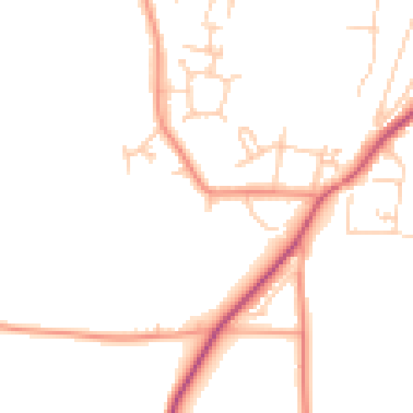
Daytime· 07:00 – 23:00
46.6dB

Night-time· 23:00 – 07:00
38.3dB