22 Carisbrooke Avenue, Hazel Grove, Stockport, SK7 5PL
About 22 Carisbrooke Avenue
22 Carisbrooke Avenue is a three-bedroom detached house in Hazel Grove, Stockport, Stockport (SK7 5PL). It has a recorded floor area of 83 m² (around 893 sq ft), construction records dating it to 1950-1966 and council tax band E. The latest certificate (June 2023) shows a C (score 69), just inside the C band. The recommended improvements would push it to B (score 84).
Its energy rating outperforms most of the postcode (better than 87% of similar EPCs). Today's modelled estimate of £458,000 is 13.1% above the 2024 sale price. On a £-per-square-foot basis, the last sale (£453/sq ft) was about 101.6% above the typical sold price in the postcode. Sold June 2024 for £405,000.
What this property has
Inside
- Bedrooms3
- Bathrooms1
Everything you need to know about 22 Carisbrooke Avenue
The true value, the hidden risks and the full sale history, in one report.
Pick your report · every report is £14.99
One time fee only - money back guarantee

The data behind every report


Energy performance
EPC Rating
Get a survey for this property
Level 2 HomeBuyer Report
We've checked 10 risk factors against the available data for this property and believe a Level 2 HomeBuyer Report could be a suitable option for you.
From £695 · Includes VAT
Planning history
22 Carisbrooke Avenue has no planning applications on record.
But the area is active
1 notable application nearby — larger schemes and conversions that could reshape the street. The report maps them all.
Sales history & valuation
Latest sale on 22 Carisbrooke Avenue was the highest on Land Registry record across the postcode.
£458,000
Modelled from EPC, postcode comparables.
£405,000
Recorded with HM Land Registry.
Sales timeline
26 June 2024Most recent
£405,000
Median price across the last 5 sales in SK7 5PL: £260,000 (2024–2019).
Nearby sales in SK7 5PL
3 Carisbrooke Avenue, Hazel Grove, Stockport, SK7 5PL
Sold Nov 2024
£290,0008 Carisbrooke Avenue, Hazel Grove, Stockport, SK7 5PL
Sold Oct 2023
£332,50015 Carisbrooke Avenue, Hazel Grove, Stockport, SK7 5PL
Sold Dec 2021
£260,00013 Carisbrooke Avenue, Hazel Grove, Stockport, SK7 5PL
Sold Feb 2020
£230,0006 Carisbrooke Avenue, Hazel Grove, Stockport, SK7 5PL
Sold Oct 2019
£227,500
Versus other Carisbrooke Avenue homes
On price per m², 22 Carisbrooke Avenue stands well clear of the street.
Price per m²
£4,880
Street avg £3,112
Floor Area
83 m²
Street avg 75 m²
Habitable Rooms
5 rooms
Street avg 4 rooms
CO₂ Emissions
3.2 t/year
Street avg 4.2 t/year
Everything you need to know about 22 Carisbrooke Avenue
The true value, the hidden risks and the full sale history, in one report.
Pick your report · every report is £14.99
One time fee only - money back guarantee
The data behind every report
Similar properties nearby
1 Denbury Green, Hazel Grove
SK7 5QS
1 Cartmel Close, Hazel Grove
SK7 5AR
1 Alvington Grove, Hazel Grove
SK7 5LS
1 Arnside Avenue, Hazel Grove
SK7 5AP
1 Denbigh Close, Hazel Grove
SK7 5NJ
1 Alston Close, Hazel Grove
SK7 5LR
1 Blackthorn Road, Hazel Grove
SK7 5EL
1 Bickerton Drive, Hazel Grove
SK7 5QY
The neighbourhood at a glance
Rail-style transport is unusually close for this postcode.
Crime
1/mo
Steady year-on-year across the wider district.
Nearest stop
0.1 km
Arundel Avenue — bus stop.
Closest school
0.1 km
St Peter's Catholic Primary School. 21 schools nearby.
Go deeper on the local area
A Local Area report breaks down crime, transport links, schools and air quality in depth.
Road noise across the postcode
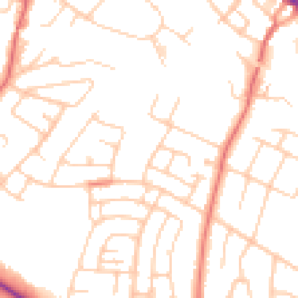
Daytime· 07:00 – 23:00
50.0dB

Night-time· 23:00 – 07:00
39.1dB