2 Gawthorne Close, Hazel Grove, Stockport, SK7 5AB
About 2 Gawthorne Close
2 Gawthorne Close is a six-bedroom detached house in Hazel Grove, Stockport, Stockport (SK7 5AB). It has a recorded floor area of 145 m² (around 1559 sq ft), construction records dating it to 1991-1995 and council tax band F. The latest certificate (October 2008) shows a D (score 56), a step below the typical UK home. The latest certificate is from October 2008, so improvements made since then won't be reflected. Other recorded features include a conservatory.
It hasn't traded since August 2009, a hold of 17 years that's notably long for the area. That sale fell during the post-crash dip, which often skews comparisons against later neighbouring sales. Across 2001–2009, sale prices on this property compounded at 4.8% per year. Today's modelled estimate of £554,000 sits 60.6% above the 2009 sale of £345,000. On a £-per-square-foot basis, the last sale (£221/sq ft) was about 62.2% above the typical sold price in the postcode. At 145 m² it's 19.5% smaller than the typical home in the postcode (180 m² median across 3 EPCs). 6 bedrooms is on the larger side for this postcode, where 4 is the typical count.
What this property has
Inside
- Bedrooms6
- Dining roomYes
- Utility roomYes
- CloakroomYes
- EnsuiteYes
- StudyYes
- ConservatoryYes
Outside
- Private gardenYes
- GarageDouble
Building
- Central heatingYes
Everything you need to know about 2 Gawthorne Close
The true value, the hidden risks and the full sale history, in one report.
Pick your report · every report is £14.99
One time fee only - money back guarantee

The data behind every report


Energy performance
2 Gawthorne Close's carbon output runs well above what efficient homes in the postcode produce.
EPC Expired
This certificate is over 10 years old and is no longer valid.Expired 05 Oct 2018
EPC Rating
Get a survey for this property
Level 2 HomeBuyer Report
We've checked 10 risk factors against the available data for this property and believe a Level 2 HomeBuyer Report could be a suitable option for you.
From £795 · Includes VAT
Planning history
2 Gawthorne Close has no planning applications on record.
But the area is active
1 notable application nearby — larger schemes and conversions that could reshape the street. The report maps them all.
Sales history & valuation
The latest sale fell during the post-2008 dip, often a low-water mark in price comparisons.
£554,000
Modelled from EPC, postcode comparables and a sale-price growth of 4.8% per year over 9 years.
£345,000
Growth on file: 4.8% per year over 9 years.
Sales timeline
13 August 2009Most recent
£345,000
+50.0%over 8 years19 January 2001
£230,000
Median price across the last 5 sales in SK7 5AB: £307,000 (2024–2001).
Nearby sales in SK7 5AB
Versus other Gawthorne Close homes
On epc rating, 2 Gawthorne Close runs well behind the street norm.
Price per m²
£2,381
Street avg £2,209
Floor Area
145 m²
Street avg 181 m²
Habitable Rooms
12 rooms
Street avg 7 rooms
CO₂ Emissions
9.2 t/year
Street avg 4.8 t/year
Everything you need to know about 2 Gawthorne Close
The true value, the hidden risks and the full sale history, in one report.
Pick your report · every report is £14.99
One time fee only - money back guarantee
The data behind every report
Similar properties nearby
1 Barlows Lane South, Hazel Grove
SK7 5AJ
1 Blackthorn Road, Hazel Grove
SK7 5EL
1 Alston Close, Hazel Grove
SK7 5LR
1 Bickerton Drive, Hazel Grove
SK7 5QY
1 Dorchester Road, Hazel Grove
SK7 5HE
1 Cotswold Avenue, Hazel Grove
SK7 5HJ
1 Elm Close, Hazel Grove
SK7 5EH
1 Gawthorne Close, Hazel Grove
SK7 5AB
The neighbourhood at a glance
Rail-style transport is unusually close for this postcode.
Crime
1/mo
Steady year-on-year across the wider district.
Nearest stop
0.2 km
Boscombe Drive — bus stop.
Closest school
0.5 km
St Peter's Catholic Primary School. 27 schools nearby.
Go deeper on the local area
A Local Area report breaks down crime, transport links, schools and air quality in depth.
Road noise across the postcode
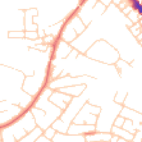
Daytime· 07:00 – 23:00
49.0dB

Night-time· 23:00 – 07:00
38.0dB