5 Athol Road, Bramhall, Stockport, SK7 1BR
About 5 Athol Road
5 Athol Road is a property in Bramhall, Stockport, Stockport (SK7 1BR). It has council tax band F.
3 planning records sit against the property, 3 approved, 0 refused. Past consents include tree works and an extension, meaningful when judging how the property has evolved.
Energy performance
No EPC on record
This property doesn't have an Energy Performance Certificate yet. An EPC is required to sell or let — and unlocks our automated valuation.
Get a survey for this property
Level 2 HomeBuyer Report
We've checked 10 risk factors against the available data for this property and believe a Level 2 HomeBuyer Report could be a suitable option for you.
Planning history
5 Athol Road has an approved single-storey rear extension on the planning record.
- Aug 2025Tree WorksTreesOutcome in report
T1 - reduce one silver birch tree at the side of the property down to a trunk. This is because it has outgrown its surroundings. HAR/CA34.
- Documents
- 4 docs on file
- Reference
- DC/096376
- Dec 2012ExtensionFullOutcome in report
Extension: Single storey · Rear of property
Single storey rear extension.
- Documents
- 4 docs on file
- Reference
- DC/051131
Sales history & valuation
No sales recorded with HM Land Registry
That can mean the property has never traded since the registry began publishing in 1995, was a new build that hasn't been registered yet, or is held in the same hands long-term.
Median price across the last 5 sales in SK7 1BR: £635,000 (2025–2013).
Nearby sales in SK7 1BR
13 Athol Road, Bramhall, Stockport, SK7 1BR
Sold May 2025
£635,00027 Athol Road, Bramhall, Stockport, SK7 1BR
Sold Aug 2021
£965,00025 Athol Road, Bramhall, Stockport, SK7 1BR
Sold Jan 2019
£783,50023 Athol Road, Bramhall, Stockport, SK7 1BR
Sold Apr 2014
£580,0009 Athol Road, Bramhall, Stockport, SK7 1BR
Sold Sept 2013
£352,000
Similar properties nearby
1 Adelaide Road, Bramhall
SK7 1NR
1 Albany Road, Bramhall
SK7 1NA
1 Aldershot Close, Woodford
SK7 1AS
1 Anson Close, Bramhall
SK7 1NB
1 Ashley Drive, Bramhall
SK7 1EW
1 Ashton Close, Woodford
SK7 1SD
1 Atcherley Lane, Woodford
SK7 1NU
1 Athol Road, Bramhall
SK7 1BR
The neighbourhood at a glance
Rail-style transport is unusually close for this postcode.
Crime
1/mo
Steady year-on-year across the wider district.
Nearest stop
0.1 km
Athol Road — bus stop.
Closest school
0.4 km
Moss Hey Primary School. 19 schools nearby.
Road noise across the postcode
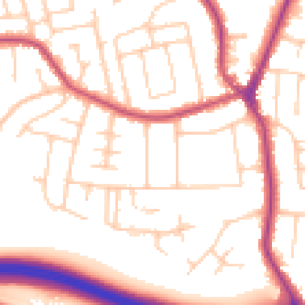
Daytime· 07:00 – 23:00
53.2dB

Night-time· 23:00 – 07:00
44.0dB