25 Athol Road, Bramhall, Stockport, SK7 1BR
About 25 Athol Road
25 Athol Road is a four-bedroom detached house in Bramhall, Stockport, Stockport (SK7 1BR). It has a recorded floor area of 175 m² (around 1884 sq ft), construction records dating it to 1900-1929 and council tax band G. The latest certificate (November 2018) shows an E (score 39), well below the UK norm with real room to improve. The recommended improvements would lift it to C (score 75), a 2-band jump. Other recorded features include outbuildings.
6 planning records sit against the property, 6 approved, 0 refused. Past consents include tree works, an extension, a loft conversion and new windows, meaningful when judging how the property has evolved. Today's modelled estimate of £1,054,000 is 34.5% above the 2019 sale price. Most recent transfer: January 2019 at £783,500.
What this property has
Inside
- Bedrooms4
- Bathrooms1
- Dining roomYes
- CloakroomYes
- StudyYes
Outside
- GarageDetached
- OutbuildingsYes
Everything you need to know about 25 Athol Road
The true value, the hidden risks and the full sale history, in one report.
Pick your report · every report is £14.99
One time fee only - money back guarantee

The data behind every report


Energy performance
25 Athol Road's carbon output runs well above what efficient homes in the postcode produce.
EPC Rating
Get a survey for this property
Level 3 Building Survey
Because the property was built before 1919 and has permanent outbuildings, we believe a Level 3 building survey should be considered.
From £1,645 · Includes VAT
Planning history
25 Athol Road has been through 6 approved planning applications — a well-evolved property.
6 applications on record at 25 Athol Road, Bramhall, Stockport, SK7 1BR
- Oct 2006Tree WorksTreesOutcome in report
To fell one Eucalyptus in the rear garden. The tree has outgrown its location and grows very fast. (DS/19/CON36)
- Reference
- DC/024331
- More recent applications — locked
- Tree WorksOct 2025Decision
- AmendmentMay 2020Decision
+ 3 more applications in the report
Unlock 25 Athol Road, Bramhall, Stockport, SK7 1BR's full planning history
You're seeing the shape of it. The report has the substance.
- Every decision — granted, refused or withdrawn (6 on record)
- All 6 applications on this property in full
- The 27 documents, officer reports & conditions
- What the pattern means for extending or converting here
One time fee only - money back guarantee
Sales history & valuation
25 Athol Road valuation sits well clear of the typical sold price in this postcode.
£1,054,000
Modelled from EPC, postcode comparables.
£783,500
Recorded with HM Land Registry.
Sales timeline
11 January 2019Most recent
£783,500
Median price across the last 5 sales in SK7 1BR: £580,000 (2025–2013).
Nearby sales in SK7 1BR
13 Athol Road, Bramhall, Stockport, SK7 1BR
Sold May 2025
£635,00027 Athol Road, Bramhall, Stockport, SK7 1BR
Sold Aug 2021
£965,00023 Athol Road, Bramhall, Stockport, SK7 1BR
Sold Apr 2014
£580,0009 Athol Road, Bramhall, Stockport, SK7 1BR
Sold Sept 2013
£352,0003 Athol Road, Bramhall, Stockport, SK7 1BR
Sold Dec 2010
£335,000
Versus other Athol Road homes
On epc rating, 25 Athol Road runs well behind the street norm.
Price per m²
£4,477
Street avg £4,464
Floor Area
175 m²
Street avg 148 m²
Habitable Rooms
7 rooms
Street avg 7 rooms
CO₂ Emissions
13.0 t/year
Street avg 7.5 t/year
Everything you need to know about 25 Athol Road
The true value, the hidden risks and the full sale history, in one report.
Pick your report · every report is £14.99
One time fee only - money back guarantee
The data behind every report
Similar properties nearby
1 Bowen Close, Bramhall
SK7 1NJ
1 Albany Road, Bramhall
SK7 1NA
1 Adelaide Road, Bramhall
SK7 1NR
1 Blythe Avenue, Bramhall
SK7 1EU
1 Dalston Drive, Bramhall
SK7 1DW
1 Courtyard Mews, 185 Moss Lane, Bramhall
SK7 1BA
1 Derwent Drive, Bramhall
SK7 1HW
1 Brisbane Close, Bramhall
SK7 1LF
The neighbourhood at a glance
Rail-style transport is unusually close for this postcode.
Crime
1/mo
Steady year-on-year across the wider district.
Nearest stop
0.1 km
Athol Road — bus stop.
Closest school
0.4 km
Moss Hey Primary School. 19 schools nearby.
Go deeper on the local area
A Local Area report breaks down crime, transport links, schools and air quality in depth.
Road noise across the postcode
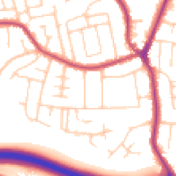
Daytime· 07:00 – 23:00
53.2dB

Night-time· 23:00 – 07:00
44.0dB