1 Balmoral Drive, High Lane, Stockport, SK6 8BN
About 1 Balmoral Drive
1 Balmoral Drive is an end-of-terrace house in High Lane, Stockport, Stockport (SK6 8BN). It has a recorded floor area of 78 m² (around 840 sq ft), construction records dating it to 1976-1982 and council tax band D. At 78 m² this is the 10th smallest of 26 units on EPC record in the building, where floor areas span 59–150 m². The building's EPC ratings span E to C, with this unit at the top. The latest certificate (September 2020) shows a C (score 75), near the top of the C band.
It hasn't traded since April 1996, a hold of 30 years that's notably long for the area. Only one transfer is on record with HM Land Registry, suggesting it has stayed in the same hands for a long time. Today's modelled estimate of £255,000 sits 231.2% above the 1996 sale of £77,000. On a £-per-square-foot basis, the last sale (£92/sq ft) was about 54.4% below the postcode norm. Its energy rating outperforms most of the postcode (better than 72% of similar EPCs).
Everything you need to know about 1 Balmoral Drive
The true value, the hidden risks and the full sale history, in one report.
Pick your report · every report is £14.99
One time fee only - money back guarantee

The data behind every report


Energy performance
EPC Rating
Get a survey for this property
Level 2 HomeBuyer Report
We've checked 10 risk factors against the available data for this property and believe a Level 2 HomeBuyer Report could be a suitable option for you.
From £545 · Includes VAT
Planning history
1 Balmoral Drive has no planning applications on record.
A planning report still maps activity across the surrounding area and reads this property's extension & conversion potential.
Sales history & valuation
1 Balmoral Drive's estimated value is more than triple its earliest registered sale price (1996).
£255,000
Modelled from EPC, postcode comparables.
£77,000
Recorded with HM Land Registry.
Sales timeline
3 April 1996Most recent
£77,000
Median price across the last 5 sales in SK6 8BN: £315,000 (2025–2022).
Nearby sales in SK6 8BN
34 Balmoral Drive, High Lane, Stockport, SK6 8BN
Sold Jan 2025
£271,00026 Balmoral Drive, High Lane, Stockport, SK6 8BN
Sold Nov 2024
£359,95032 Balmoral Drive, High Lane, Stockport, SK6 8BN
Sold Apr 2024
£285,00018 Balmoral Drive, High Lane, Stockport, SK6 8BN
Sold Mar 2024
£340,00030 Balmoral Drive, High Lane, Stockport, SK6 8BN
Sold Apr 2022
£310,000
Versus other Balmoral Drive homes
Price per m² for 1 Balmoral Drive lags the street by a wide margin.
Price per m²
£987
Street avg £1,979
Floor Area
78 m²
Street avg 80 m²
Habitable Rooms
3 rooms
Street avg 3 rooms
CO₂ Emissions
2.2 t/year
Street avg 2.7 t/year
Everything you need to know about 1 Balmoral Drive
The true value, the hidden risks and the full sale history, in one report.
Pick your report · every report is £14.99
One time fee only - money back guarantee
The data behind every report
Similar properties nearby
1 Capesthorne Road, High Lane
SK6 8BS
1 Cornwall Close, High Lane
SK6 8BR
1 Bridgefield Close, High Lane
SK6 8BW
1 Eden Avenue, High Lane
SK6 8BL
1 Andrew Lane, High Lane
SK6 8HT
1 Bramway, High Lane
SK6 8EN
1 Brookside Lane, High Lane
SK6 8HL
1 Canal Mews, High Lane
SK6 8DP
The neighbourhood at a glance
Rail-style transport is unusually close for this postcode.
Crime
1/mo
Steady year-on-year across the wider district.
Nearest stop
0.1 km
Buxton Road — bus stop.
Closest school
0.4 km
Brookside Primary School. 4 schools nearby.
Go deeper on the local area
A Local Area report breaks down crime, transport links, schools and air quality in depth.
Road noise across the postcode
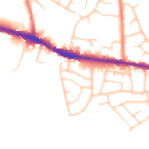
Daytime· 07:00 – 23:00
48.6dB

Night-time· 23:00 – 07:00
41.0dB