25 Broad Hey, Romiley, Stockport, SK6 4NL
About 25 Broad Hey
25 Broad Hey is a semi-detached house in Romiley, Stockport, Stockport (SK6 4NL). It has a recorded floor area of 95 m² (around 1023 sq ft), construction records dating it to 1950-1966 and council tax band D. The latest certificate (July 2025) shows a C (score 71).
At 95 m² it's 19.5% smaller than the typical home in the postcode (118 m² median across 13 EPCs). Its energy rating outperforms most of the postcode (better than 77% of similar EPCs).
Everything you need to know about 25 Broad Hey
The true value, the hidden risks and the full sale history, in one report.
Pick your report · every report is £14.99
One time fee only - money back guarantee

The data behind every report


Energy performance
EPC Rating
Get a survey for this property
Level 2 HomeBuyer Report
We've checked 10 risk factors against the available data for this property and believe a Level 2 HomeBuyer Report could be a suitable option for you.
From £595 · Includes VAT
Planning history
25 Broad Hey has no planning applications on record.
But the area is active
1 notable application nearby — larger schemes and conversions that could reshape the street. The report maps them all.
Sales history & valuation
25 Broad Hey has no Land Registry sales on file, suggesting it has stayed in the same hands since registration began.
£367,000
Modelled from EPC, postcode comparables.
No sales recorded with HM Land Registry
That can mean the property has never traded since the registry began publishing in 1995, was a new build that hasn't been registered yet, or is held in the same hands long-term.
Median price across the last 5 sales in SK6 4NL: £415,000 (2023–2021).
Nearby sales in SK6 4NL
29 Broad Hey, Romiley, Stockport, SK6 4NL
Sold Dec 2023
£438,50020 Broad Hey, Romiley, Stockport, SK6 4NL
Sold Apr 2023
£415,0001 Broad Hey, Romiley, Stockport, SK6 4NL
Sold Sept 2021
£495,00031 Broad Hey, Romiley, Stockport, SK6 4NL
Sold Sept 2021
£385,00014 Broad Hey, Romiley, Stockport, SK6 4NL
Sold Mar 2021
£360,000
Versus other Broad Hey homes
25 Broad Hey outperforms the street on co₂ emissions by a wide margin.
EPC Rating
71 (C)
Street avg 65 (D)
Floor Area
95 m²
Street avg 116 m²
CO₂ Emissions
2.5 t/year
Street avg 4.7 t/year
Habitable Rooms
4 rooms
Street avg 6 rooms
Everything you need to know about 25 Broad Hey
The true value, the hidden risks and the full sale history, in one report.
Pick your report · every report is £14.99
One time fee only - money back guarantee
The data behind every report
Similar properties nearby
1 Crossmoor Crescent, Romiley
SK6 4AG
1 Goosehouse Green, Romiley
SK6 4LJ
1 Greave, Romiley
SK6 4PU
1 Far Ridings, Romiley
SK6 4NN
1 Cornfield Road, Romiley
SK6 4LU
1 Colborne Avenue, Romiley
SK6 4AE
1 Crossmoor Grove, Romiley
SK6 4AQ
1 Central Drive, Romiley
SK6 4PE
The neighbourhood at a glance
Rail-style transport is unusually close for this postcode.
Crime
1/mo
Steady year-on-year across the wider district.
Nearest stop
0.2 km
Lanes Ends — bus stop.
Closest school
0.4 km
Romiley Primary School. 18 schools nearby.
Go deeper on the local area
A Local Area report breaks down crime, transport links, schools and air quality in depth.
Road noise across the postcode
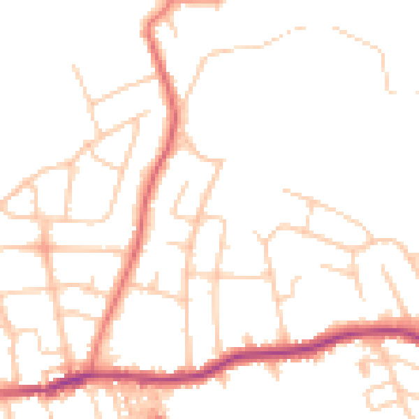
Daytime· 07:00 – 23:00
48.0dB

Night-time· 23:00 – 07:00
38.4dB