2 Etherow Avenue, Romiley, Stockport, SK6 4HA
About 2 Etherow Avenue
2 Etherow Avenue is a semi-detached house in Romiley, Stockport, Stockport (SK6 4HA). It has a recorded floor area of 98 m² (around 1055 sq ft), construction records dating it to 1950-1966 and council tax band B. The latest certificate (November 2013) shows a D (score 65), on the cusp of jumping into the C band. The recommended improvements would lift it to B (score 84), a 2-band jump. The latest certificate is from November 2013, so improvements made since then won't be reflected.
Everything you need to know about 2 Etherow Avenue
The true value, the hidden risks and the full sale history, in one report.
Pick your report · every report is £14.99
One time fee only - money back guarantee

The data behind every report


Energy performance
Recommended upgrades on file would lift this property by multiple EPC bands.
EPC Expired
This certificate is over 10 years old and is no longer valid.Expired 28 Nov 2023
EPC Rating
Get a survey for this property
Level 2 HomeBuyer Report
We've checked 10 risk factors against the available data for this property and believe a Level 2 HomeBuyer Report could be a suitable option for you.
From £545 · Includes VAT
Planning history
2 Etherow Avenue has no planning applications on record.
But the area is active
1 notable application nearby — larger schemes and conversions that could reshape the street. The report maps them all.
Sales history & valuation
2 Etherow Avenue has no Land Registry sales on file, suggesting it has stayed in the same hands since registration began.
£251,000
Modelled from EPC, postcode comparables.
No sales recorded with HM Land Registry
That can mean the property has never traded since the registry began publishing in 1995, was a new build that hasn't been registered yet, or is held in the same hands long-term.
Median price across the last 5 sales in SK6 4HA: £240,000 (2022–2021).
Nearby sales in SK6 4HA
30 Etherow Avenue, Romiley, Stockport, SK6 4HA
Sold Jan 2022
£240,00022 Etherow Avenue, Romiley, Stockport, SK6 4HA
Sold Dec 2021
£230,00016 Etherow Avenue, Romiley, Stockport, SK6 4HA
Sold Sept 2021
£335,00026 Etherow Avenue, Romiley, Stockport, SK6 4HA
Sold Sept 2021
£334,00028 Etherow Avenue, Romiley, Stockport, SK6 4HA
Sold Jun 2021
£225,000
Versus other Etherow Avenue homes
EPC Rating
65 (D)
Street avg 67 (D)
Floor Area
98 m²
Street avg 98 m²
CO₂ Emissions
3.9 t/year
Street avg 3.9 t/year
Habitable Rooms
5 rooms
Street avg 6 rooms
Everything you need to know about 2 Etherow Avenue
The true value, the hidden risks and the full sale history, in one report.
Pick your report · every report is £14.99
One time fee only - money back guarantee
The data behind every report
Similar properties nearby
1 Cherry Tree Close, Romiley
SK6 4HD
1 Greenway, Romiley
SK6 4HH
1 Etherow Avenue, Romiley
SK6 4HA
1 Gothic Close, Romiley
SK6 4JT
1 Central Drive, Romiley
SK6 4PE
1 Gotherage Close, Romiley
SK6 4ET
1 Crossmoor Grove, Romiley
SK6 4AQ
1 Douthwaite Drive, Romiley
SK6 4HQ
The neighbourhood at a glance
Daytime road noise here sits well below conversation level — a quiet pocket of the postcode.
Crime
1/mo
Steady year-on-year across the wider district.
Nearest stop
0.1 km
Cherry Tree Lane — bus stop.
Closest school
0.7 km
Romiley Primary School. 17 schools nearby.
Go deeper on the local area
A Local Area report breaks down crime, transport links, schools and air quality in depth.
Road noise across the postcode
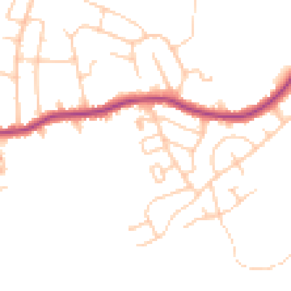
Daytime· 07:00 – 23:00
46.4dB

Night-time· 23:00 – 07:00
37.9dB