23 Highfield Avenue, Romiley, Stockport, SK6 3DA
About 23 Highfield Avenue
23 Highfield Avenue is a three-bedroom property in Romiley, Stockport, Stockport (SK6 3DA). It has council tax band B. Tenure is freehold.
Untraded for 26 years, with the last transfer in December 1999. Only one transfer is on record with HM Land Registry, suggesting it has stayed in the same hands for a long time. 2 planning records sit against the property, 1 approved, 1 refused. Past consents include an extension and a conservatory, meaningful when judging how the property has evolved.
What this property has
Inside
- Bedrooms3
- Bathrooms2
Outside
- Private gardenRear
Building
- TenureFreehold
Everything you need to know about 23 Highfield Avenue
The true value, the hidden risks and the full sale history, in one report.
Pick your report · every report is £14.99
One time fee only - money back guarantee

The data behind every report


Energy performance
No EPC on record
This property doesn't have an Energy Performance Certificate yet. An EPC is required to sell or let — and unlocks our automated valuation.
Get a survey for this property
Level 2 HomeBuyer Report
We've checked 10 risk factors against the available data for this property and believe a Level 2 HomeBuyer Report could be a suitable option for you.
Planning history
2 applications on record at 23 Highfield Avenue, Romiley, Stockport, SK6 3DA
- Dec 2010ConservatoryFullOutcome in report
Extension: Single storey · Side and rear of property
Single storey side conservatory extension and single storey side and rear extension with first floor balcony above
Extension- Documents
- 3 docs on file
- Reference
- DC/045837
- More recent applications — locked
- ConservatoryJun 2011Decision
Unlock 23 Highfield Avenue, Romiley, Stockport, SK6 3DA's full planning history
You're seeing the shape of it. The report has the substance.
- Every decision — granted, refused or withdrawn (2 on record)
- All 2 applications on this property in full, plus 1 notable nearby
- The 6 documents, officer reports & conditions
- What the pattern means for extending or converting here
One time fee only - money back guarantee
Sales history & valuation
23 Highfield Avenue has been held in the same hands since before 2000.
£58,000
Recorded with HM Land Registry.
Sales timeline
6 December 1999Most recent
£58,000
Median price across the last 5 sales in SK6 3DA: £240,000 (2023–2021).
Nearby sales in SK6 3DA
11 Highfield Avenue, Romiley, Stockport, SK6 3DA
Sold Oct 2023
£268,00010 Highfield Avenue, Romiley, Stockport, SK6 3DA
Sold Sept 2023
£265,00036 Highfield Avenue, Romiley, Stockport, SK6 3DA
Sold Oct 2022
£240,00041 Highfield Avenue, Romiley, Stockport, SK6 3DA
Sold Aug 2021
£120,00027 Highfield Avenue, Romiley, Stockport, SK6 3DA
Sold May 2021
£220,000
Everything you need to know about 23 Highfield Avenue
The true value, the hidden risks and the full sale history, in one report.
Pick your report · every report is £14.99
One time fee only - money back guarantee
The data behind every report
Similar properties nearby
1 Beverley Walk, Romiley
SK6 3HG
1 Buckley Drive, Romiley
SK6 3EW
1 Eastover, Romiley
SK6 3ES
1 Highfield Avenue, Romiley
SK6 3DA
1 Hill Rise, Romiley
SK6 3AP
1 Agecroft Road, Romiley
SK6 3HT
1 Bredbury Green, Romiley
SK6 3DN
1 Carlisle Close, Romiley
SK6 3HS
The neighbourhood at a glance
Rail-style transport is unusually close for this postcode.
Crime
1/mo
Steady year-on-year across the wider district.
Nearest stop
0.0 km
Highfield Avenue — bus stop.
Closest school
0.2 km
Werneth School. 23 schools nearby.
Go deeper on the local area
A Local Area report breaks down crime, transport links, schools and air quality in depth.
Road noise across the postcode
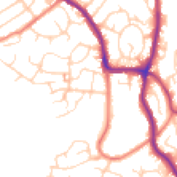
Daytime· 07:00 – 23:00
51.0dB

Night-time· 23:00 – 07:00
41.0dB